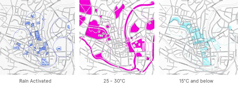
Maps are awesome! Period. As the digital juggernaut rolls along, paper maps have been relegated to our walls and floors. But still, more often than most, we rely on paper maps as a tourist. Tourist maps have become rather boring lately but this map designed by Camilla Hempleman, a recent design graduate from Kingston University that changes color based on temperature and whether it is raining or not, is the most accurate use of the term #Geoawesomeness! A truly awesome idea!
More about this awesome design project
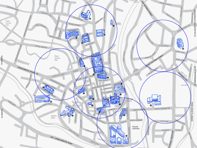
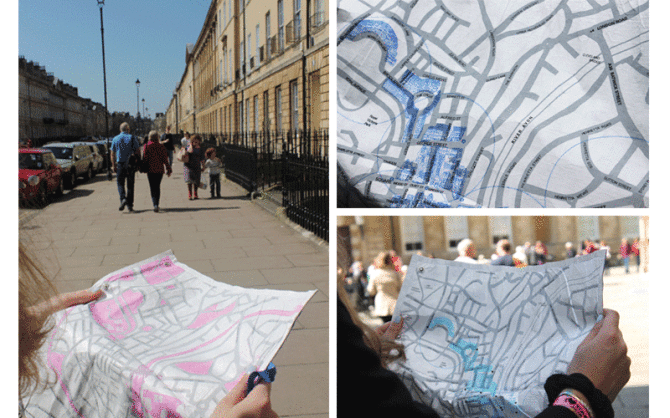
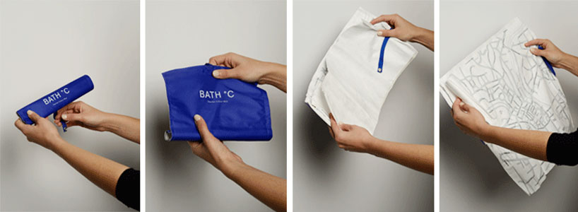
‘bath °C thermo color map’ by camilla hempleman is a hand held activated map, based on her home city of bath, england. using thermochromic inks and tyvek fabric the map is activated at different temperatures, revealing layers of hand illustrated buildings and attractions, showing the best places to visit depending on the weather. designed as a roll map, the fabric is water, and crumple proof allowing it to be easily stored in your bag with minimal packaging to combat any excess waste. the map is color coded to specific external environmental temperatures, which allows tourists, visitors and residents a like to have a new experience of bath. – designboom.com
The map can be rolled up and put away easily as well. Wow, the more I think of it, the more I love this awesome designer map.
For this awesomeness about this map, its a pity that its only a concept map and not available for purchase! Kickstarter backers anyone? 😉 You should totally go for it, Camilla!!
Source: Designboom.com


