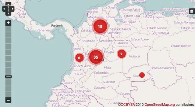
Geo-Journalism: The power of Geospatial Technology, helping to monitor corruption in Colombia.
 Hi folks, I’m back again on Geo-Journalism, this time, it is on how geospatial technology is helping journalist to uncover and monitor corrupt practices ( misuse of fund, bribery, fraud etc.) in Colombia. Some times last week, I dropped a short article on how Geo-Journalism is helping to uncover sexual abuses in Syria. Now it is also been leveraged to monitor corruption in Colombia.
The interesting thing about this technology to journalism is that it does not only give the journalists the opportunity to digitally map their reports but it also gets the citizens engaged in realtime reporting. Citizens now get these news and automatically submit and geotag them to where they are happening (News Mapping) with the help of some Mobile Geo-Apps like the Ushahidi Mapping Platform.
“What makes our map unique in Colombia is our two-tiered reporting system that allows both journalists and citizens to submit reports about corruption in their communities, municipalities and on a broader scale, regionally and nationally,” said Ronnie Lovler, a Knight International Journalism Fellow.
This technology now makes it easier for journalists and citizens to post their stories on the web and as well enable the users to monitor these incidents of corruption in near- realtime and deduce patterns and similarities in the types of incidents.
For me, this is part of the awesomeness of geo-technologies.
Ronnie Lovler, explains in the video below, the whole concept of the project, ‘Digital Map to Track Corruption in Colombia’.


