Remember Voyager, the storytelling feature Google Earth launched a couple of years ago, allowing people to take interactive journeys guided by experienced scientists and documentarians, like those from BBC Earth, NASA, Sesame Street, and the Jane Goodall Institute? That feature has now been expanded to allow all users to create immersive maps and stories using the Google Earth platform.
Related: Google Earth takes students on tours guided by Nat Geo, PBS Education

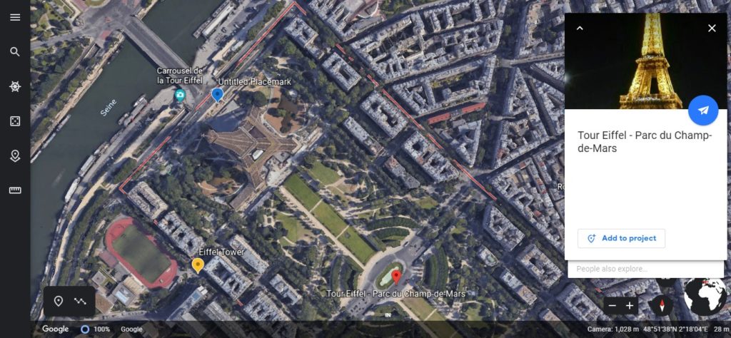
Google Earth has introduced new content creation tools for its Web-based version. You can use these tools to set placemarks on Street View photos and 3D views of the earth, choose your own points of interest, draw lines and shapes, and add your own custom text, images, and videos to the selected locations. The whole thing can then be shared with friends and family using Google Drive for easy viewing over tablets or iOS/Android smartphones.
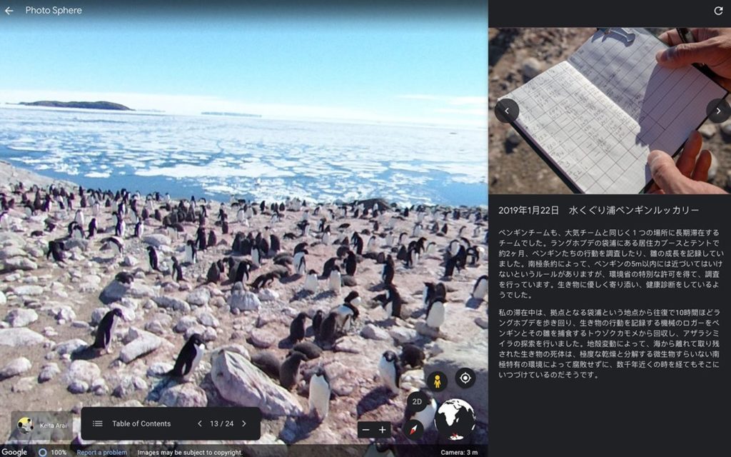
Not just that, you can also collaborate with others to create immersive map-based projects and showoff your creations as full-screen presentations – complete with title slides and section breaks. If this doesn’t inspire students and educators to get more creative in the classroom, I’m not sure what will. For example, when Google Earth gave the early access for these tools to a Japanese teacher who had spent four months on an Antarctic research expedition, they got this beautiful presentation in return.
Gopal Shah, Product Manager, Google Earth, is certainly hoping that people will turn Google’s digital globe into their own storytelling canvas, and create maps or stories about the places that matter to them. “For nearly 15 years, people have turned to Google Earth for a comprehensive view of our planet. But our mission has never been to just show you a static picture of the planet; we want to bring the world to life,” Shah sums up.
Now read: Has Google finally found a social networking winner in Google Earth?


 After a lackluster Wall Street debut forced Uber’s chief operating officer and chief marketing officer to step down this June, another senior executive at Uber has decided that it is time to end their trip. Manik Gupta, who was chosen to lead the global core product team at Uber exactly a year ago, has announced that Dec 13, 2019, will be his last day at the company.