First a quick recap: Three years ago, Facebook revealed its ambitions to create the most detailed population density maps of all countries in the world with an aim to provide wireless connectivity to the unconnected and underserved – which is about 10% of the total human population.
Then, Facebook trained machine learning algorithms to detect human activity in satellite images, combined the results with existing census counts and other population statistics, and created a population data set with an impressive 5-meter resolution for over 20 countries.
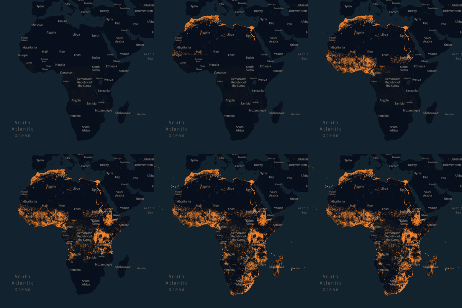
Now, the tech giant has announced that it has completed the most detailed population density maps of the majority of the African continent, and is making the dataset available to the public for free.
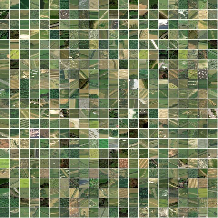
This image shows tiles that Facebook’s system labeled as not containing a building. A few mistakes are visible, but the approach overall proves to be accurate
But this is not where the good news ends. Facebook’s artificial intelligence technology has become so proficient in detecting manmade buildings on satellite images that the company now expects to map the rest of the world’s population within months. That’s ‘months’ – not another 3 years.
To better understand the methodology Facebook is using to develop these maps, look at the image below:
First, the algorithms set aside locations that could not contain a building. Then the neural network ranks each remaining location according to the likelihood that it does contain a building. The high-ranking locations are shown above as blue dots. Each is assigned population from census data (as seen in the glowing map). Finally, the distributed population is overlaid onto the locations on the map.
In a blog post explaining the technology, Facebook said it was hopeful that when the maps are completed, “humanitarian agencies will be able to determine how populations are distributed even in remote areas, so that health care workers can better reach households and relief workers can better distribute aid.”
Interestingly, in this post, there was no mention of commercial intents like providing Internet connectivity to the people. Instead, the company – which is still reeling from the Cambridge Analytica data scandal and concerns over fake news – chose to focus on how the previously-released maps had helped nonprofits do their work more efficiently.
In Malawi, for example, the company explained in the post, the Red Cross and the Missing Maps program used Facebook maps to plan a measles and rubella campaign. By determining that 97% of land space was uninhabited, the Red Cross was able to deploy 3,000 trained volunteers to specific areas that were in need.


