If you study or work sooner or later you will have to make a PowerPoint presentation. No matter if you work in a mapping industry, you want to present annual results per region in your organization, or you have class project review, the best way to show something that has a spatial component is always a map.
If you need to show some complex phenomena you might need to make your cartographic visualization in a GIS, mapping or graphic software and add it as an image to your slides. If needed you can than draw shapes on the top of the image in PowerPoint. This way you can also add animations on the top of your map background.
But if you need a cool looking map for your slides to show things on a cartogram or same graphics like pie charts, bubble chart or markers on the top of a map the best method is to use one of the templates available online.
These map templates offer various possibilities but also have some limitations. You can change the color of each element (e.g. country, state), do actions like enlarging a country, you can group, ungroup visual elements, add effects like shadows etc. The biggest limitation is that you cannot connect it to any data, which means that you need to edit colors manually.
What is found really interesting is that some of these maps are using SVG or vectors so you can edit them with any vector editing tool and copy back to you slides.
Below you find a list of my favourite free and premium templates:
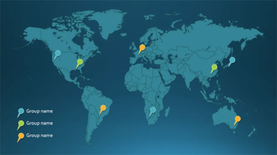
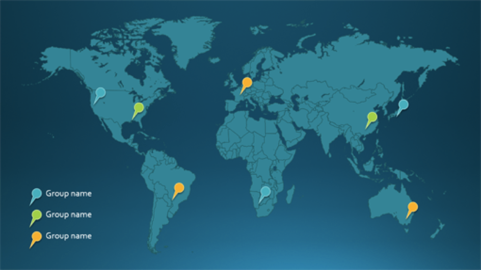
1. MS Office map template with pins from Microsoft
Source: Office
Price: Free
2. Cool generalized 13 templates of world map
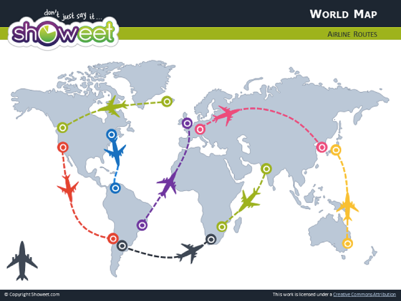
Source: Showeet
Price: Free
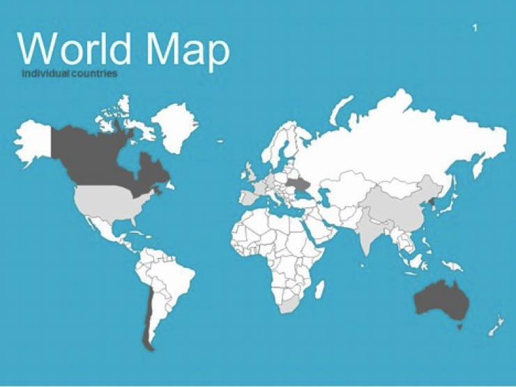
3. Simple country-level world map
Source: presentationmagazine
Price: Free
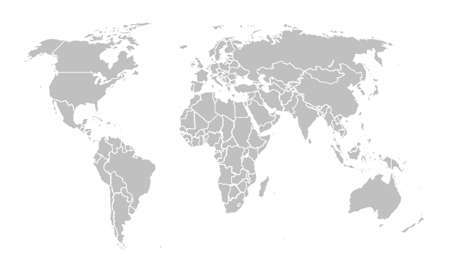
4. Another free country-level map but not in Mercator projection
Source: Presentation SlidesPrice: Free
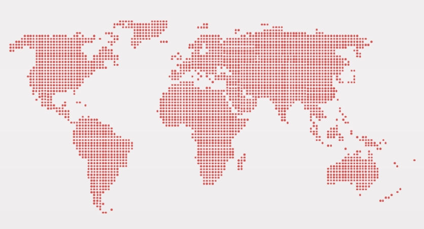
5. Awesome dotted world map
Source: Presentationgo
Price: Free
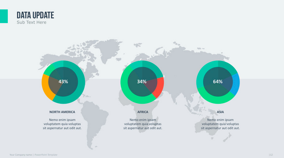
6. Cool premium world map with charts.
Source: GraphicRiver
Price: $12
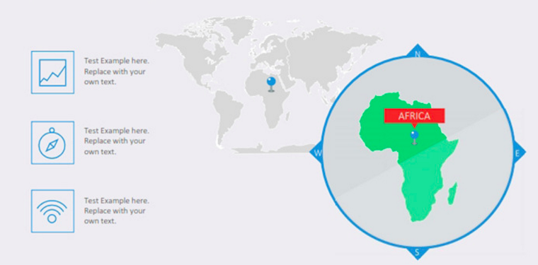
7. Premium world map with zoom
Source: GraphicRiver
Price: $4
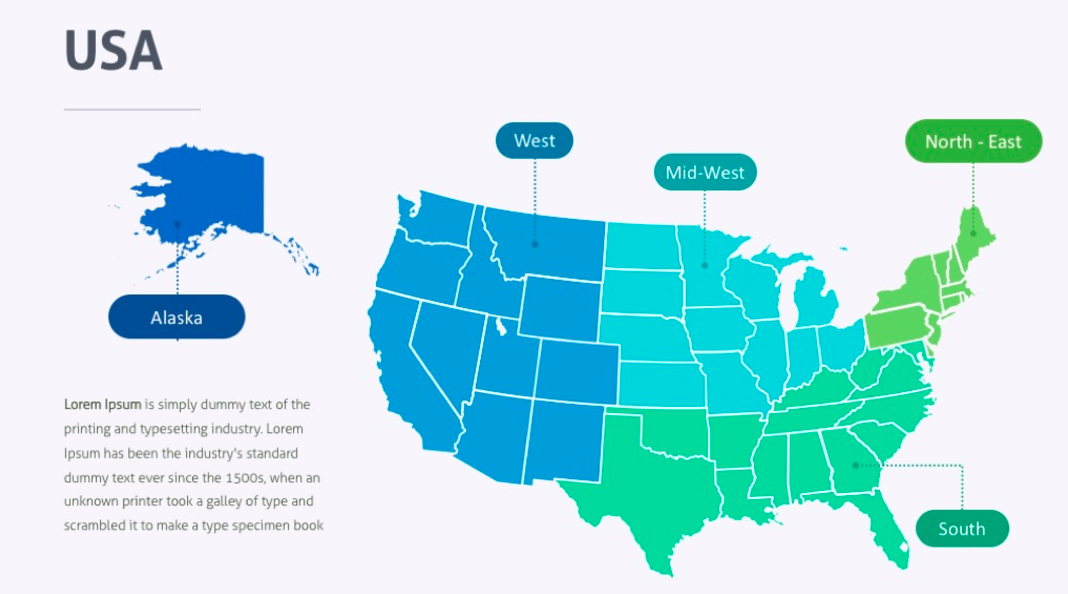
8. Premium country map with states and regions
Source: GraphicRiver
Price: $10
If you feel something is missing, feel free to share it in comments.


