Esri’s new solution ensures buildings don’t look like GIS black holes
“Why do buildings look like black holes in our geographic database?” For Esri, this question has formed a recurring theme in its conversations with the users of its geographic information system (GIS). Finally, the location intelligence behemoth is putting the query to rest by releasing a long-overdue solution in the form of ArcGIS Indoors.

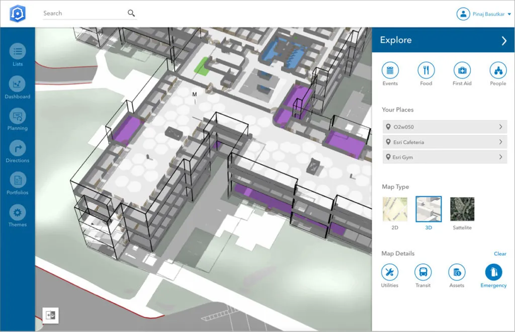
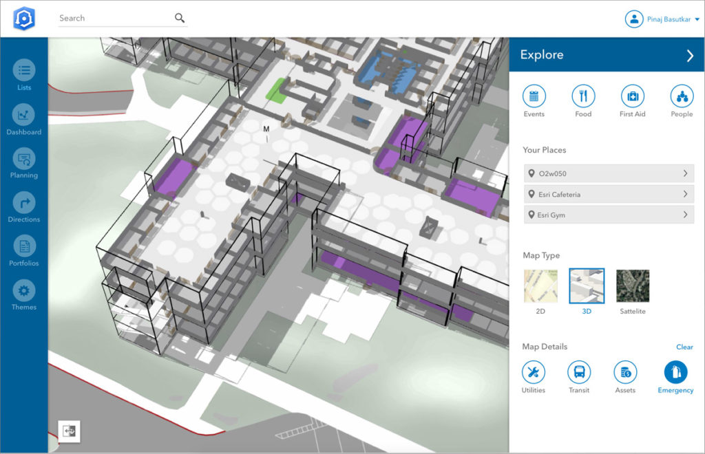
Expected to be widely available by the end of 2018, ArcGIS Indoors is a complete floor-aware location platform that provides 3D maps, data, and location information for indoor spaces. The interactive solution delivers real-time building information for spatially-aware asset monitoring and analysis that facilitates collaboration and enhances productivity.
So, if you wanted to make sure the conference room you are booking for that very important meeting has adequate projector options, AcrGIS Indoors would be your go-to tool. Or if you wanted to see the locations of all the fire extinguishers in your building, not only would the platform be able to tell you that using its precision mapping capabilities, you would also be able to see when the latest inspection for the said assets was carried out.
Esri foresees a great potential for this product in large corporate complexes, retail and commercial locations, airports, hospitals, event sites, college campuses, etc. By combining indoor mapping information with navigation, scheduling, and analytics, organizations can make life a whole lot easier for employees, customers, travelers, and visitors.
The native mobile app for ArcGIS Indoors would be released on both iOS and Android platforms with support for indoor positioning feeds like beacons, WiFi, and smart lighting. It would work in non-connected environments as well and support all common workflows. The solution also includes desktop and enterprise tools for assembling, managing, and sharing information.
For Nitin Bajaj, product manager at Esri, spatial awareness is all about giving better insight to people, so they can operate more efficiently and competitively. ArcGIS Indoors enables that by bringing “the interior building space into the future by placing data about employees, schedules, meetings, customers, and events into a geographic context.”
If you are interested in learning more about ArcGIS Indoors, Esri has released a detailed video which gives you all the lowdown on assembling indoor data, adding business value to it, and sharing it with web and mobile applications to support a wide range of workflows. Watch it here:


