Mapping mountains like never before by UAVs way
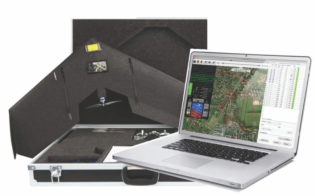
 Unmanned Aerial Vehicles have a special place in my list of awesome stuff in the world. The long hours in the hot Indian sun, trying to get the total station to work and take measurements is certainly something that I did not enjoy as a geomatics student in India. A couple of years later, as a GNSS engineer I saw the most awesome gadget in geomatics – the UAV that can replace all the hard work in the field for the surveyor. You have to agree that a small glider that can help prepare maps with few cm resolution, whenever you want and at a fraction of the cost of a real photogrammetry mission is certainly awesome.
The UAVs have been revolutionizing the world of photogrammetry and surveying in an unprecedented fashion. UAVs have allowed surveyors to complete surveys in less than few hours which traditionally would have taken somewhere around a few days. They made surveying possible in terrains that were hostile – forests, mountains, etc.
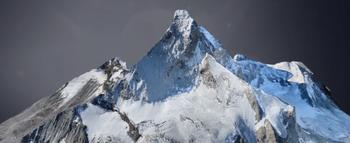
 If Google Earth Street View made it possible to take a virtual tour of the most famous cities in the world, UAVs are going to change the way we looked at mountains 😉 Mapping the mountains to be GEOMATICALLY correct! SenseFly, a Swiss company has completed a historic mission by mapping the most famous mountain in the Alps – “The Matterhorn”.
I’ll let you witness the awesomeness before I go on raving about the achievement 😉 Oh and by the way, the 3D model has a resolution of 20 cms!!
Just a bit of trivia: In May 2011 researchers from the DLR (Deutsche Zentrum für Luft- und Raumfahrt) created a 3D model of the Matterhorn with a maximum resolution of 50 cm using optical satellite data, in cooperation with DigitalGlobe and 3D Reality Maps.The fact that is now possible to produce 2D and 3D models with a resolution of 20 cms even in the most daunting of terrains using the UAV technology makes this flight by the SenseFly team a historic event.
UAV in mapping = awesomeness 🙂
So what you think? Is the future of mapping headed the UAV way or what? Let us know!
Source: Direction Magazine
Did you like this post? Read more and subscribe to our monthly newsletter!


