Satellite tasking, and the increasing availability of on-demand Earth Observation data
Editor’s note: This article was written as part of EO Hub – a journalistic collaboration between UP42 and Geoawesome. Created for policymakers, decision makers, geospatial experts and enthusiasts alike, EO Hub is a key resource for anyone trying to understand how Earth observation is transforming our world. Read more about EO Hub here.
For those who work in Earth Observation, satellite data is most familiar in archival form. This is how we have worked in the past; accessing data a few years or, with enough luck, maybe just a few months old. The typical applications for civilian satellite data use have always assumed the use of archive data. Only a handful of research projects could afford to buy newer data or, in rare cases, on-demand imagery.
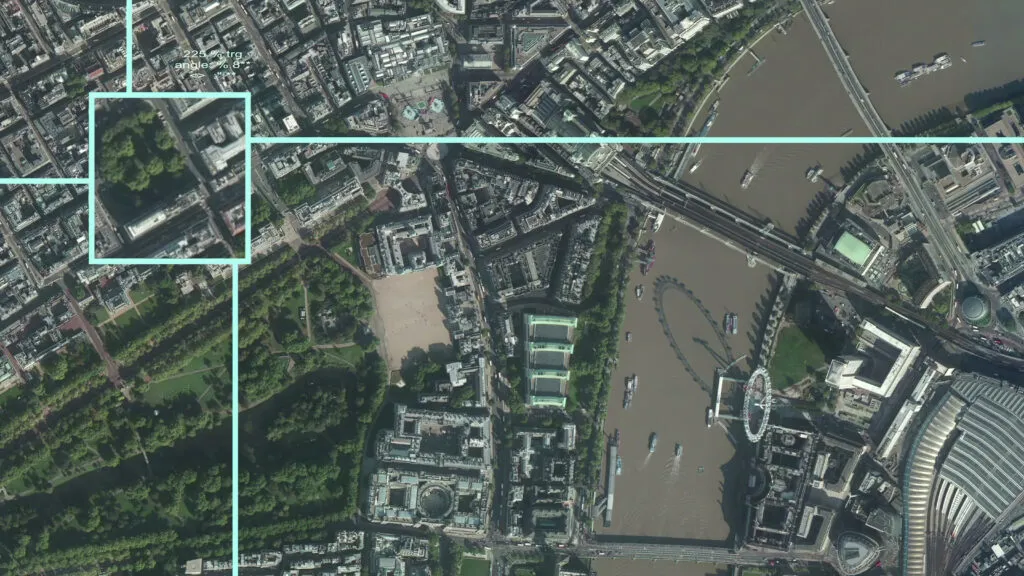
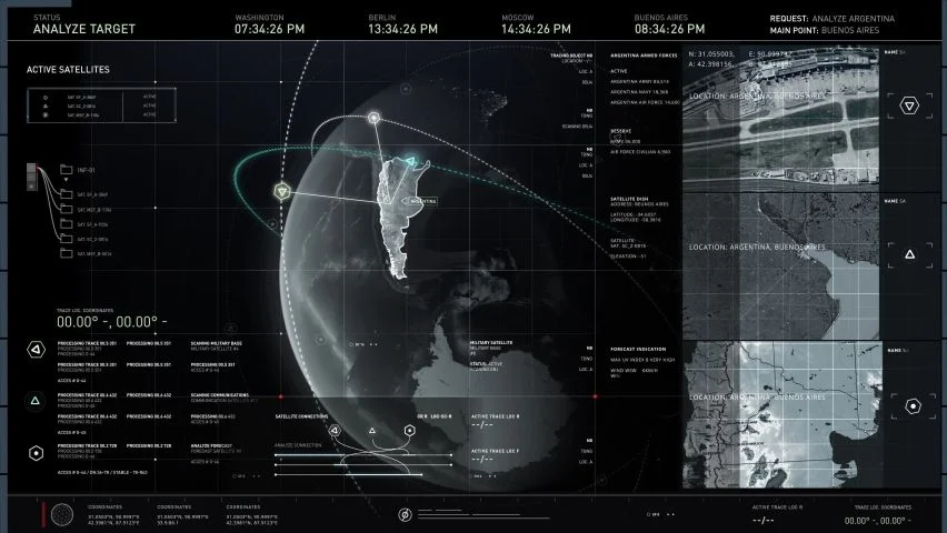
On the other hand, popular culture is full of spy movies featuring scenes where MI6 are studying near-real-time satellite images of villains on the other side of the world carrying out nefarious acts—images obtained just a few hours previously. All these films show very high-resolution satellite data captured using optical sensors that were pointed on specific Areas of Interest, at a specific angle, and at the perfect time.
Today, we know this technology by the name of satellite tasking—and it’s now available to every one of us.
To learn more about satellite tasking, and to help me address some of the important questions in the sector, I recently spoke to Seulgi Son, Satellite Tasking Support Engineer at UP42.
Did you like the article? Read more and subscribe to our monthly newsletter!
What is satellite data tasking?
Satellite tasking gives users the ability to commission satellites and capture imagery for a specific area, according to particular parameters and project needs.
“We usually suggest tasking to customers who can’t find the image they need for their project in our existing archive collection,” Seulgi tells me. Satellite tasking allows users to define specific tasking parameters, such as area of interest, tasking time window, incidence angle value, acquisition mode (mono, stereo, tristereo), and maximum cloud coverage of the scene. “You have total freedom for that and total flexibility when defining these parameters, to ensure you get the perfect image that you need,” Seulgi adds.
What are the key use cases for satellite tasking today?
The most common use cases for satellite tasking besides government and military projects related to emergency response, where large organizations need to assess damage related to snowstorms or wildfires, for example. Another is vegetation management for railways, power, and utilities, where satellite data can be used to detect trees growing too close to critical infrastructure (like overhead electricity transmission cables), causing risk.
It is likely that new, emerging use cases will soon start to be developed by the community, as the data’s potential is huge and the cost is beginning to become more affordable for many organizations.
How quickly can you get the data?
When it comes to SAR data, from Capella Space, for example, it is possible to task satellites to get data within a few hours, because cloud coverage is not an issue. For optical data, the lead time is typically several weeks.
“The process starts with a client requesting tasking for a specific Area of Interest and basic parameters—such as cloud coverage, how they want the image to be processed, what kind of image capture technique they need (like mono, stereo, tristereo), and what kind of spectral bands they are interested in,” Seugli explains.
“All of this information needs to be factored in, then the data provider uses all these inputs to verify what can be done within the necessary time period, given the weather conditions, and other tasking requests,” she continues. “Based on those inputs, we provide a feasibility study, which analyzes whether the tasking can be achieved within the original parameters and time period specified. If not, then we recommend potential changes to the request in order for the mission to be feasible.” Cloud coverage is a huge factor, and although satellite companies massively invest in accurate weather models, it cannot be fully predicted. When the mission is approved, a connection is made to the satellite via Application Programming Interface (API), and a request is made for the data to be captured.
What can we expect from satellite tasking in the near future?
Satellite tasking is gaining some serious interest from the industry. One of the most critical aspects is being able to address emergency use cases.
“A company like UP42 has the team and infrastructure to ensure we are always ready to process urgent requests,” Seulgi tells me. The company is now focused on improving the overall experience for customers who need to obtain the data as soon as possible—as it might be critical for emergency situations. “To achieve that, we are working on APIs for automatic processes to enable the customer to receive notifications and status updates on where their images are in the pipeline, and when they will be available to access.”
Why should we care about tasking?
Earth Observation is going to be used in more and more advanced use cases, powered by the development of Geo AI and the increasingly wide availability of satellite data sources. Any geospatial analysis can only be as good and as up-to-date as the input data, which means that sooner or later everyone working in Earth Observation will be forced to consider satellite tasking. At the same time, as the competition between satellite companies grows, we can expect increasingly competitive pricing models, which will make tasking more available to the geospatial community as a whole. To stay ahead in the industry, it’s worth exploring right now.
Did you like the article? Read more and subscribe to our monthly newsletter!


