Russia declassifies Earth-sensing data from its civilian satellites

The Russian government announced it will provide public access to previously classified Earth-sensing data received from domestic and foreign civilian satellites. A statement posted on governmental legal database portal says:

The Earth-sensing data received from civilian domestic and foreign satellites are no longer considered state secrets and it will be open to public access in line with the Russian legislation.

Russia’s satellite industry is a significant component of its aerospace sector, historically known for pioneering satellite technology since launching the first artificial satellite, Sputnik, in 1957. Today, the industry focuses on developing communication, navigation, and Earth observation satellites. Russian satellites play critical roles in global navigation systems like GLONASS, scientific research, weather forecasting, and military applications, demonstrating Russia’s ongoing influence and capability in space technology. Russia holds the third place globally in terms of the number of satellites in orbit.

civilian satellites

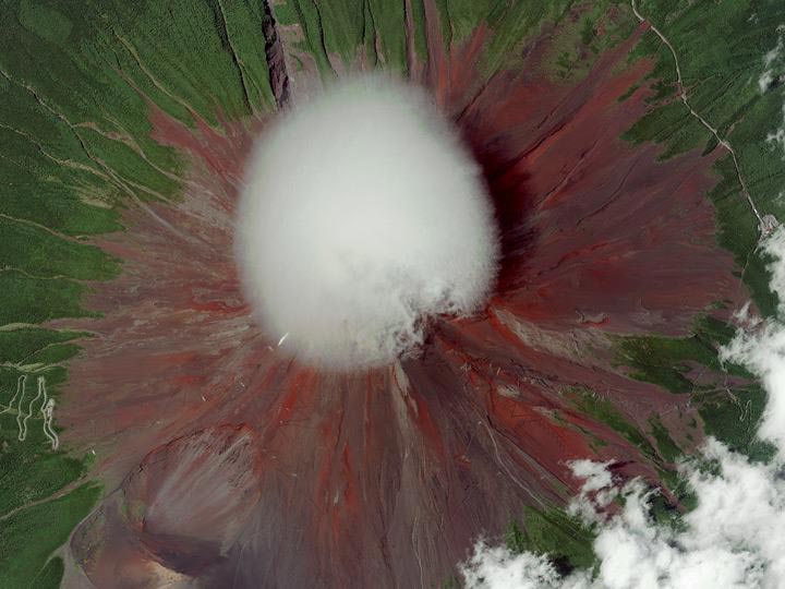
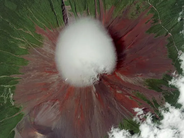
Japan, Digital Globe, satellite image

Similar restrictions have been loosen around the world. In June 2014 the US government allowed for civic usage of satellite images containing more details. Previous restrictions stopped images with pixels smaller than 50 cm (1.64 feet).  In case of US the change has been pushed by Digital Globe which is planning to launch satellites allowing to capture images with much higher resolution. I’m wondering who and why was lobbing for this legislation changes in Russia? Any ideas?

source: Sputnik news


Did you like this post about civilian satellites? Read more and subscribe to our monthly newsletter!

Say thanks for this article (0)
The community is supported by:
Become a sponsor
#
#Construction #Featured #Real Estate #Transportation
Urban Planning’s New Frontier: The Transformative Power of Satellite Imagery
Avatar for Barry Morisse
Barry Morisse 11.14.2024
AWESOME 1
#< 0.10m #10m #1m #Agriculture #Construction #Drones #Environment #Environmental Protection #Featured #Multispectral #Optical #SAR #Science
Are Drones and Satellites Competing or Complementary as Sources of Geospatial Data?
Aleks Buczkowski 01.19.2024
AWESOME 8
#Agriculture #Energy #Environment #Environmental Protection #ESG #Featured #Humanitarian #Pansharpening #Real Estate #Satellites #Science #Transportation
5 Ways to Use Pansharpening on Satellite Imagery
Nikita Marwaha Kraetzig 10.16.2024
AWESOME 5
Next article

Sanctions may delay Russia’s GLONASS program

Space is calling - banner of GLONASS program

Space is calling – banner of GLONASS program

GLONASS, or Global Navigation Satellite System, is Russia’s answer to GPS, providing real-time positioning and timing services globally. Initiated by the Soviet Union in 1976, it became fully operational in 1995. The system is vital for both military and civilian applications, ensuring independence from American GPS. GLONASS supports numerous devices across various sectors, including telecommunications, emergency services, and transportation, enhancing navigation accuracy worldwide.

“Unclear” intervention in Crimea and eastern Ukraine pushed a number of governments to apply sanctions against Russian individuals and businesses. The sanctions are strongly hitting Russian economy which moves into recession. Also Russian global satellite navigation system GLONASS will suffer. Due to restrictions in the delivery of radiation-resistant electronic components from the West, GLONASS satellite manufacturer will cancel the program for building the new type of satellites called GLONASS-K2.

Nikolai Testoyedov, CEO of Information Satellite Systems Reshetnev, told the Russian magazine Vestnik GLONASS:

After the two GLONASS-K1 satellites No. 11 and 12, we wanted to go for the launch of more advanced GLONASS-K2 devices. But, unfortunately, the plans had to be adjusted somewhat because of the sanctions restricting the delivery of radiation-resistant electronic components from the West. We have to put a hold on the in-depth development of technical and technological documentation and that delays us in terms of moving ahead by at least a year or two.

This will not affect the functioning of the system which had achieved 100 percent coverage, with the full orbital constellation of 24 satellites operational in 2011.

source: GPS World 


Did you like this post about the GLONASS navigation system? Read more and subscribe to our monthly newsletter!

Read on
Search