
NASA has been making Earth Observation data more freely available and as part of their latest Open Data push comes the launch of OpenNEX – Open NASA Earth Exchange. The primary motivation for OpenNEX is to get more people to take part in Earth Observation data analysis, encourage them to break down the data and find new insights. Basically, Crowd sourced Remote Sensing data analysis and insights via Citizen Scientists!
NASA has 2 challenges on the OpenNEX platform that revolve around creation of innovative methods to utilize the earth science data from EO Satellites. The Challenge goes live on July 1st , 2014! You can register for the challenge here.
You can share your codes, scientific knowledge and results to solve the big data challenges in Earth Sciences using the OpenNEX platform. Interestingly, OpenNEX is hosted on the Amazon’s Cloud Service (AWS) and is available to the public through a Space Act Agreement. The agreement allows NASA to make its cloud public. Using the service, you can build your own virtual machine or simply use a pre-built Amazon Machine Image (AMI) to perform your scientific analysis; Use on-demand computing and build on ready-to-use code snippets.
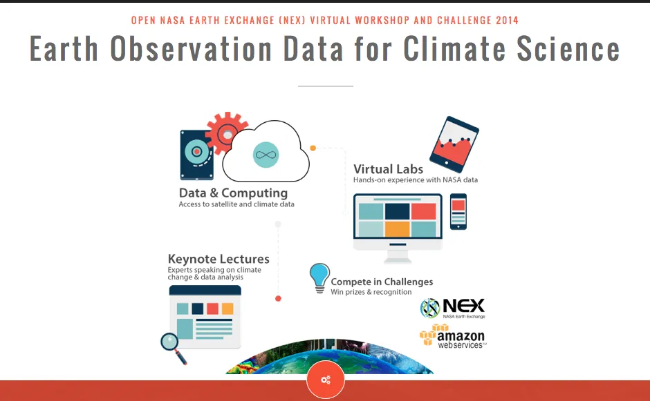
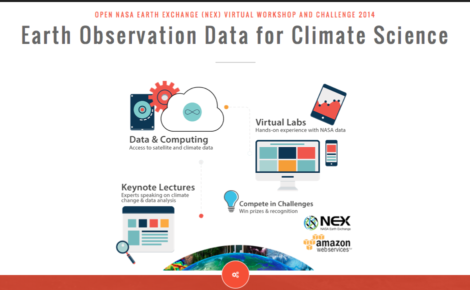
The challenges will use the Open NASA Earth Exchange. OpenNEX is a data, supercomputing and knowledge platform where users can share modeling and analysis codes, scientific results, knowledge and expertise to solve big data challenges in the Earth sciences. A component of the NASA Earth Exchange, OpenNEX provides users a large collection of climate and Earth science satellite data sets, including global land surface images, vegetation conditions, climate observations and climate projections. – NASA press release
NASA has made available a series of online video lectures and hands-on lab modules for us to learn how best to utilize the OpenNEX platform and win the competitions. A virtual workshop being is also being organized as part of the OpenNEX effort to give you more information and insights. Here’s the flyer with more information. The workshop begins on 1st July, 2014.
The Competition
The first stage of the challenge begins on July 1st and runs through until August 1st. The first “ideation” stage has as much as $10,000 in awards for ideas on novel uses of the earth observation data.
The second stage, beginning in August is focused on development of an application or algorithm that promotes climate resilience using the OpenNEX data. The second “development” stage has between $30,000 and $50,000 in awards for the development of applications/algorithms that utilize the ideas of the first “ideation” stage. NASA is scheduled to announce the overall winners in December. That is $60,000 in awards for your contribution towards OpenNEX.
Copernicus Masters and OpenNEX
Similarities can be drawn between the NASA’s OpenNEX challenge and ESA’s Copernicus Masters, primarily in the attempt to encourage innovative ideas for using earth observation data. The OpenNEX push on ideas for Climate science is in line with the USA Governments’ initiatives on Open Data, Big Data and Climate Data compared to ESA’s more overall approach to encouragement of earth observation data usage for different application areas, farming being one of them.
Did you like this post? Read more and subscribe to our monthly newsletter!


#
Next article


We were reporting you in May that Russia threatens to turn off GPS service stations if the U.S. won’t allow them to place Glonass stations on American soil. Finally Moscow has found a way to get its foot in the door to North America by installing Glonass infrastructure in Cuba.
Last week the Russian government has approved an agreement with Cuba on cooperation in exploration and use of outer space. The document “meets Russian interests, including the need to place the GLONASS System of Differential Correction and Monitoring (SDCM) stations,” said the Cabinet’s press service.
Russia had wanted to base stations in the U.S. since 2012, but U.S. authorities didn’t want to agree on that due to national security concerns. Russia plans to establish Glonass facilities in 36 countries around the world, enabling different stations to compare location data in order to dramatically increase the accuracy of Glonass’s positioning information — a technique known as differential correction.
Russia hopes that this worldwide network will allow it to achieve a level of parity with GPS in terms of reliability and accuracy for the end-user. And most smartphones including iPhone already support the Glonass GNSS.
Did you like this post? Read more and subscribe to our monthly newsletter!

