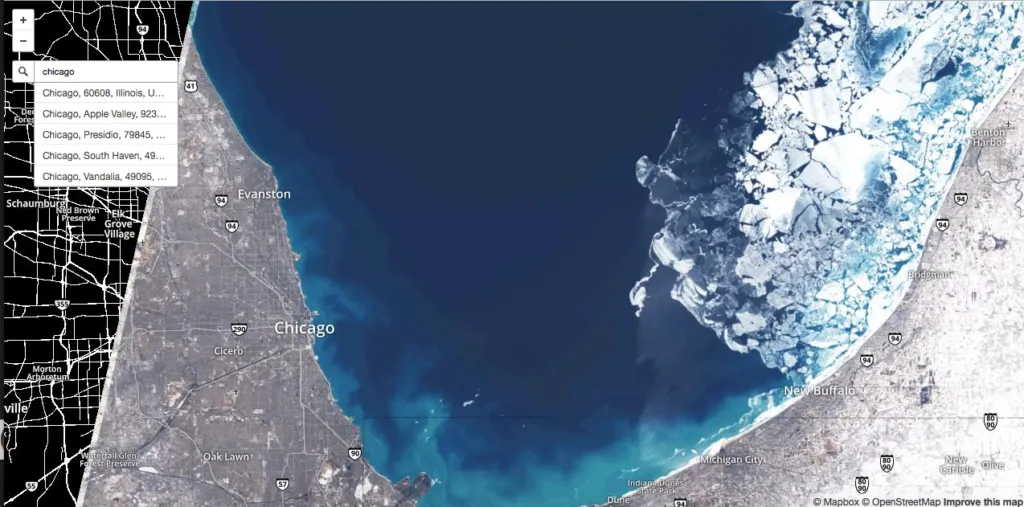
Mapbox’s Landsat-live project: Maps with the most up-to-date Satellite imagery
The Landsat program from USGS/NASA is certainly the most iconic Earth Observation program ever. Not only does it provide the longest continuous space-based record of Earth but the Landsat program also democratized access to satellite imagery, enabling researchers across the world to use latest satellite imagery for various Remote sensing and GIS studies. (Read more: Landsat 8 Captures dramatic details of the Earth; will push the Earth – Monitoring Envelope).
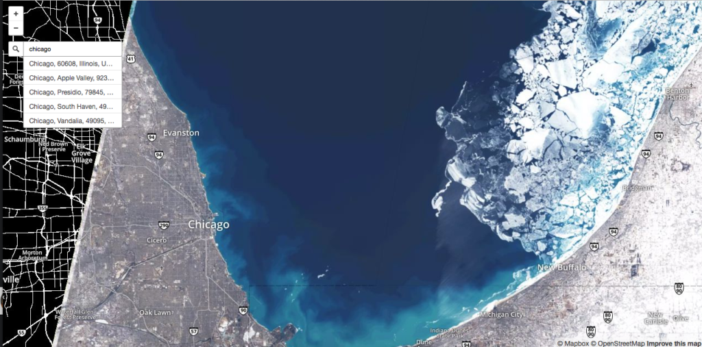
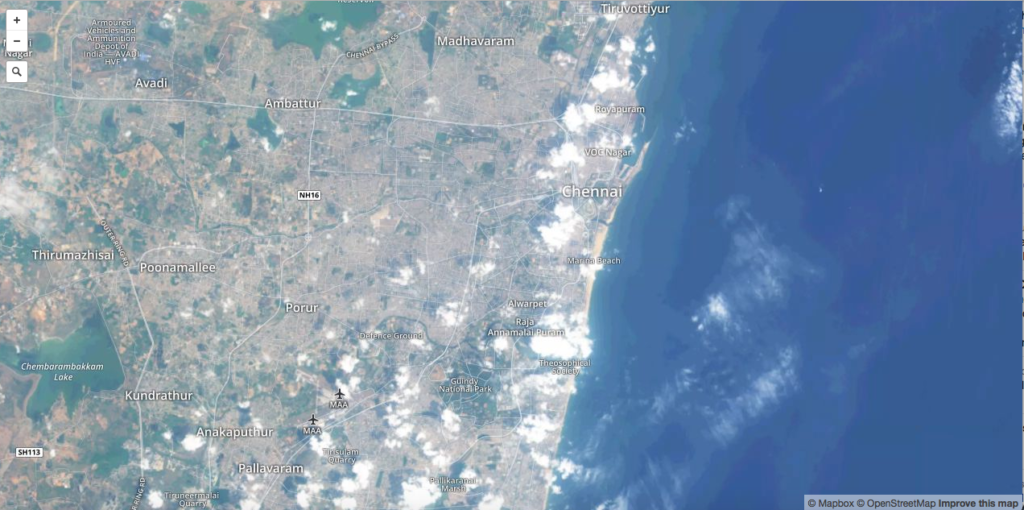
Although Landsat satellite imagery have been available for the public for a while now, we haven’t had a project that can be considered as the OpenSatelliteImagery project, well until now. Mapbox has changed that with Landsat-live, a geoawesome project that utilizes the latest Landsat 8 data is publicly available on Amazon Web Service via the Landsat on AWS Public Data Set.
With every pixel captured within the past 32 days, Landsat-live features the freshest imagery possible around the entire planet. – Camilla Mahon, Mapbox blog
Finally, a project that lets us understand how the planet changes in weeks, instead of the picture perfect – sunny, green satellite imagery that we are so used to by now thanks to Google Earth and other similar projects. Mapbox‘s Landsat-live is going to help showcase the big gap between how we perceive the world in our maps with satellite imagery overlays and how it actually is. And of course, Mapbox choose to overlay the satellite imagery with OpenStreetMap data 🙂
With a 30 meter resolution, a 16 day revisit rate, and 10 multispectral bands, this imagery can be used to check the health of agricultural fields, the latest update on a natural disaster, or the progression of deforestation. – Camilla Mahon, Mapbox blog
Besides the Earth Observation projects that Landsat-live would make possible, I am sure it is not going to be long before someone decide to create the next Geoguessr with this project. Satguessr – the Landsat-live based Geography game! maybe we should 😉 Anyone interested in the idea? 🙂
Five years from now, real-time maps might be as ubiquitous as YouTube videos—but for now, they feel as futuristic as movies might have to Victorians. – Charlie Loyd, Mapbox to Citylabs
Mapbox’s Landsat-live project showcases the Landsat program in the kind of spotlight, it deserves.
P.S: @Mapbox: maybe you guys can think about adding a timeline functionality for the Landsat-live service! It would be all the awesome to see how things have changed in the last few satellite revisit periods.
Did you like this post? Read more and subscribe to our monthly newsletter!


