Hurricane Season: Geospatial technology’s role in disaster preparation, response, and recovery
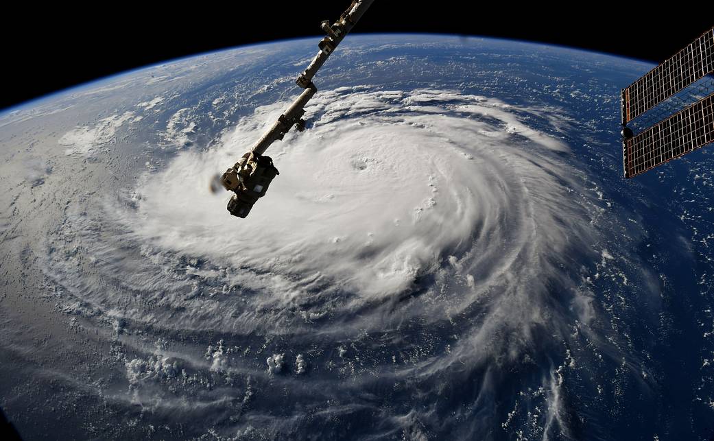
Hurricane Florence, as seen from space. Courtesy: NASA

Hurricane Florence, as seen from space. Courtesy: NASA

No matter what Hollywood thrillers like Geostorm suggest, we cannot use satellites to control natural disasters. What we can use satellites for, however, is to make informed decisions about disaster preparation, response, and recovery. And as the last few hurricane seasons have proven, geospatial technologies are an indispensable tool for both short-term response and long-term rebuilding efforts.

Escorted by high-velocity winds, heavy rainfall and storm surge, hurricanes are one of the most destructive geophysical events. And when such a disaster strikes, everybody needs to come together and act as one in response efforts. In such a scenario, spatial datasets and geographic information systems (GIS) which bring multiple layers of data under one roof become the ‘go-to technology’ for umpteen government agencies, nonprofit organizations, military, and even the average citizen.

Preparation to the Hurricane  Season

Geospatial technologies kick into high gear right from the time a hurricane first begins its lifecycle. GIS and remotely-sensed data are an important part of the pre-disaster strategy which includes developing multi-hazard models to predict the landfall point, wind speeds, rainfall distribution, etc. Geospatial information is also essential to identify the precise locations of at-risk, critical infrastructure and transportation network, as well as the demographic profiles of vulnerable citizens.

For example, as the United States braced for Hurricane Florence earlier this month, GIS giant Esri released an interactive map to show the extent of probable storm-surge. This map was also packed with information like the median household income of those in the danger zone and the number of businesses, educational institutes, and health organizations that could be impacted. Further, the map shared how many people in the impact zone were above 65 years of age, giving federal agencies a clear indication of the level of preparation needed for the impending disaster.

Evacuation orders are also a product of GIS simulations, traffic and transportation data, flood mapping models, and the like, with exit routes being selected months in advance. In 2016, days before Hurricane Matthew was set to make landfall in North Carolina, officials urged more than 1.25 million citizens in the danger zone to evacuate their homes. And this mass exodus could be executed with an enviable level of efficiency only because it was a result of meticulous, information-driven planning.

Response

But, even with a high level of preparedness, determining the exact scale of devastation a natural disaster would wreak is never a certainty. Which is why post-disaster response models often start with a map, and depend heavily on accurate real-time data.

During Hurricane Katrina in 2005, GIS played a crucial role in the search and rescue operations undertaken by the US government. And when catastrophic Hurricane Harvey unleashed its fury on Texas in 2017, the Federal Emergency Management Agency (FEMA) shared up-to-date geospatial data with all state and local emergency response providers on a daily basis.

During Harvey, even social forums like Snapchat’s Snap Map proved indispensable in providing accurate locations of the victims, shelters, and relief supplies distribution centers. In fact, the identification of distribution centers is also dependent on spatially-aware data – where are the victims clustered, where is the nearest supply warehouse, how is the accessibility to the affected area, etc. GIS is also required for visualizing the most efficient pickup points and evacuation routes for survivors, supplemented by essential information like the capacity of a shelter or which shelters can accommodate the special needs of the elderly.

Recovery after the hurricane

When Hurricane Maria devastated Puerto Rico in 2017, response and recovery officials were faced by a surprising challenge: there were no street addresses available for any of the rural areas. Even the majority of the houses have been built without permits on government or private land. And yet, within weeks, volunteers were able to analyze 1.4 million homes for damage and digitize 24,000 miles of roads. This wouldn’t have been possible without the help of open-source, volunteer geo organizations like OpenStreetMaps and GISCorps, and What3words – a geospatial startup that has reinvented the global addressing system.

The US Virgin Islands were also hit by Hurricane Maria, and that too only a few days after Hurricane Irma tore roofs off houses and shut down communication and power grids. Here also aerial imagery and GIS played a central role in identifying and analyzing damaged roofs, allowing FEMA to accordingly prioritize its relief and recovery efforts.

Utility providers have been leveraging geospatial technologies as a powerful recovery tool for years now. After Hurricane Sandy ravaged through the Northeast US in 2012, as many as 18 power companies across the country were keeping their customers updated through real-time outage maps. Many utilities had predictive maps up and running even before Sandy hit.

Indeed, when countless lives and billions of dollars in infrastructure are at stake, having access to accurate spatial data and GIS models can give officials and volunteers the confidence they need to make informed decisions and get started with their work before things become worse.


If you enjoyed this article, read more and subscribe to our monthly newsletter!

Say thanks for this article (1)
The community is supported by:
Become a sponsor
#
#News #Science
Current Trends in Geospatial and Remote Sensing Research: A Review of Recent Scientific Literature
Sebastian Walczak & Nikita Marwaha Kraetzig 10.9.2024
AWESOME 6
#Agriculture #Construction #Energy #Environmental Protection #ESG #Financial Services #Geospatial for Good #Government #Health Care #Real Estate #Satellite tasking #Transportation
Simplifying the Process of Tasking a Satellite
Avatar for Barry Morisse
Barry Morisse 05.29.2024
AWESOME 5
#Agriculture #ESG #Featured #Financial Services #Geospatial for Good #People
Earth Observation in Banking and Finance: How Spatial Insights Drive Decision-Making and Support Communities – Meet UX Researcher, Cyhana Williams
Nikita Marwaha Kraetzig 11.28.2024
AWESOME 1
Next article

What would happen if GPS failed?

What would happen if GPS failed? By Ishveena Singh

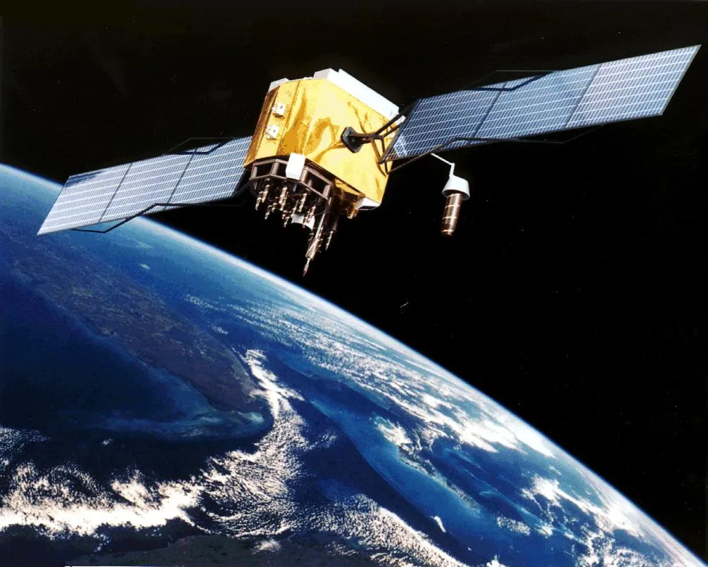
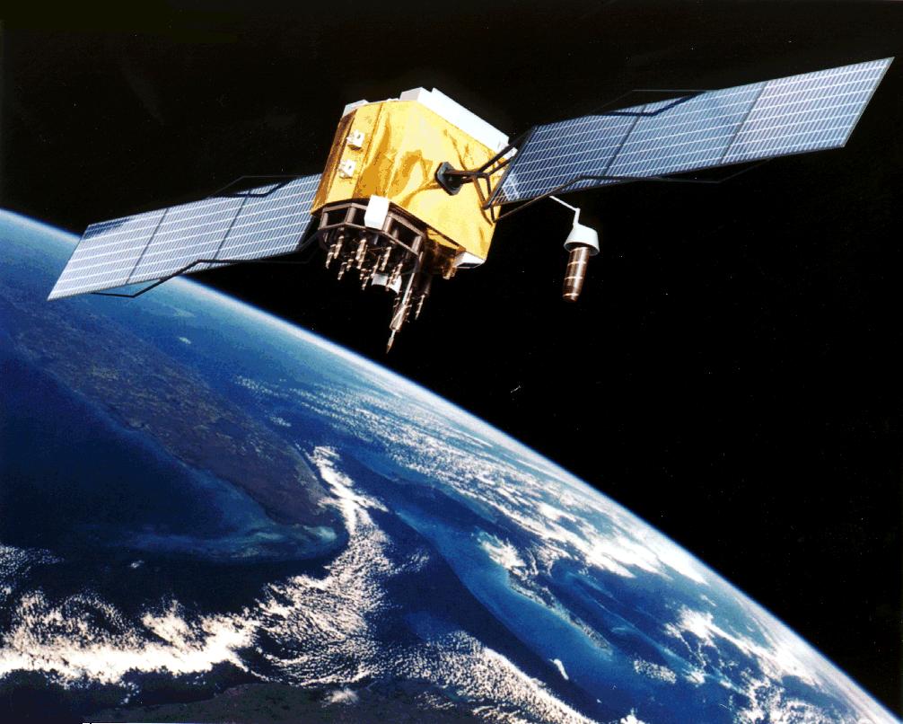
The navigation apps we carry around in our smartphones may have made getting lost in foreign lands a distant memory, but our dependency on the Global Positioning System (GPS) runs far deeper than we realize.

GPS satellites, owned by the United States government, carry onboard the atomic clocks that maintain the time standard followed by the world – Coordinated Universal Time (UTC). And accurate timestamps are crucial for the smooth functioning of everything from electric power grids to high-speed financial transactions where each millisecond translates into millions. Even the Internet service you are using to access this blog relies on precise GPS timestamps to route data, as do all digital communication systems.

So, if the GPS were to fail, the ramifications would not be limited to airborne flights and the ships at sea finding themselves isolated from the rest of the world. Armies would lose all control over drones monitoring natural disasters or surveilling terrorist outfits. Weather forecasts would be totally off and digital television and radio will not be able to continue transmission. Essentially, a total collapse of GPS could wreak havoc on a large number of systems intrinsic to the smooth functioning of our lives.

Deep space atomic clock

Last time when GPS failed…

In January 2016, when the US Air Force decommissioned a GPS satellite, an incorrect timestamp was uploaded to other functioning satellites. Their clocks recorded a discrepancy of 13 microseconds – or 13 millionths of a second. The error may seem minuscule in writing, but the ensuing chaos lasted for over 12 hours across the world.

Reports from several parts of the United States and Canada said police, fire, and radio equipment was not functioning, and anomalies were detected in power grids. What’s even more mind-blowing is that the slip resulted in BBC digital radio going kaput for two whole days!

At least the error was unintentional, right? Right. But today, the problem of intentional GPS disruption is becoming more and more widespread.

In 2009, GPS interference was detected around Newark airport, compromising the air traffic controllers’ ability to receive precise location information about airplanes. An investigation revealed that the disruption was caused by a truck driver who was using an illegal GPS jamming device so his employer couldn’t track his whereabouts. A similar device used at a wrong place could affect maritime navigation as well.

And let’s not forget nature. In 1859, the world witnessed a solar storm so strong that if it were to take place today, it would knock out all satellites orbiting our planet. Known as the Carrington Event, after the name of the astronomer who discovered it, this superstorm was powerful enough to cause severe geomagnetic disturbances on Earth and send telegraph systems into a tizzy. NASA even reports, “Just before dawn… skies all over planet Earth erupted in red, green, and purple auroras so brilliant that newspapers could be read as easily as in daylight. Indeed, stunning auroras pulsated even at near tropical latitudes over Cuba, the Bahamas, Jamaica, El Salvador, and Hawaii.”

So, are we doomed by our deep-rooted dependency on GPS? Not necessarily.

The way out: alternatives

For starters, several nations have built their own satellite navigation systems to rival the US-owned GPS. Russia’s GLONASS, China’s BeiDou Navigation Satellite System (BDS) and the European Union’s Galileo operate at a global level, while India and Japan have developed regional navigation and augmentation systems.

Atomic clock failure, however, is a problem that has plagued these systems too. Last year, nine clocks across 18 Galileo satellites in orbit stopped working without warning. India, meanwhile, has reported the failure of seven of the 21 clocks it has in its constellation of navigation satellites.

And let’s not forget that the signals from these satellites can be jammed too. Which highlights the need for non-satellite-based alternatives…

For years, the US Coast Guard used a land-based radio navigation system called Loran-C. That system became obsolete once GPS was widely adopted, but there’s no reason why an upgraded version of the same cannot serve as a promising backup. South Korea is reportedly already developing such a system and the US wants to follow suit.

Another option could be ground-based fiber optic cables. In a recent experiment, the US Department of Commerce’s National Institute of Standards and Technology partnered with the Naval Observatory to test signal transmission between two federal time scales. The results showed that the official world timescale (UTC) could be transferred with a stability of less than 100 nanoseconds, so long as the connection was not broken.

Well, one thing is for sure, without navigation satellites, the world as we know it will look like a very different place. And while the utter and complete failure of GPS may only be a dystopian scenario, it never hurts to have a Plan B in place.


If you enjoyed this article, read more and subscribe to our monthly newsletter!

Read on
Search