Geo-knowledge facilitates development in Afghanistan
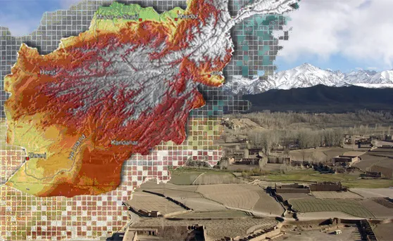
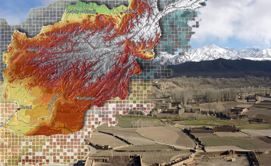
Inspired by the novel ‘A thousand splendid suns’ I was eager to learn more about one protagonist of the story. – Afghanistan, a country blessed by ancient and rich culture starting more than 2000 years ago and afflicted by an eventful recent history. A country, where ‘modernism’ finally took hold after 2002 and that now aspires to become a central mediator among the countries of the antique silk road. Diverse is also its environment. As an ‘alpine’ country it accommodates several climatic and geological zones and is rich in natural goods. In my research I came across an initiative that was started by United States Geological Survey (USGS) in 2004 and aimed to help the young Afghan government to assess natural resources. There was and is a lot to do in a country that was excluded from (geo)reformation for decades. The applied techniques of the initiative range from in-situ data sampling to remote sensing. A digital geoinformation data framework was established in order to offer the option to archive, distribute and retrieve the gathered information to a wide user community. The accomplished studies are published in the respective sections on the website. I was impressed by the agro-meteorology section that provides a crop yield forecasting system and early warning system for droughts. A bulletin in this sector is published every month.
This project is not something new, but very fundamental for this country. Geo-knowledge supports to make decisions and contributes to development of states and societies. I wanted to share this example of geo-practice with you.
The website of the project and also the source of this article is: link
Did you like this post? Read more and subscribe to our monthly newsletter!


