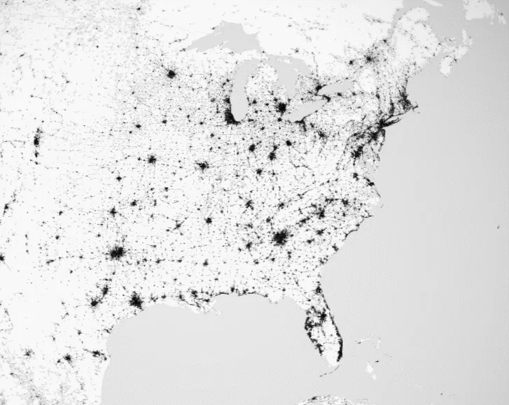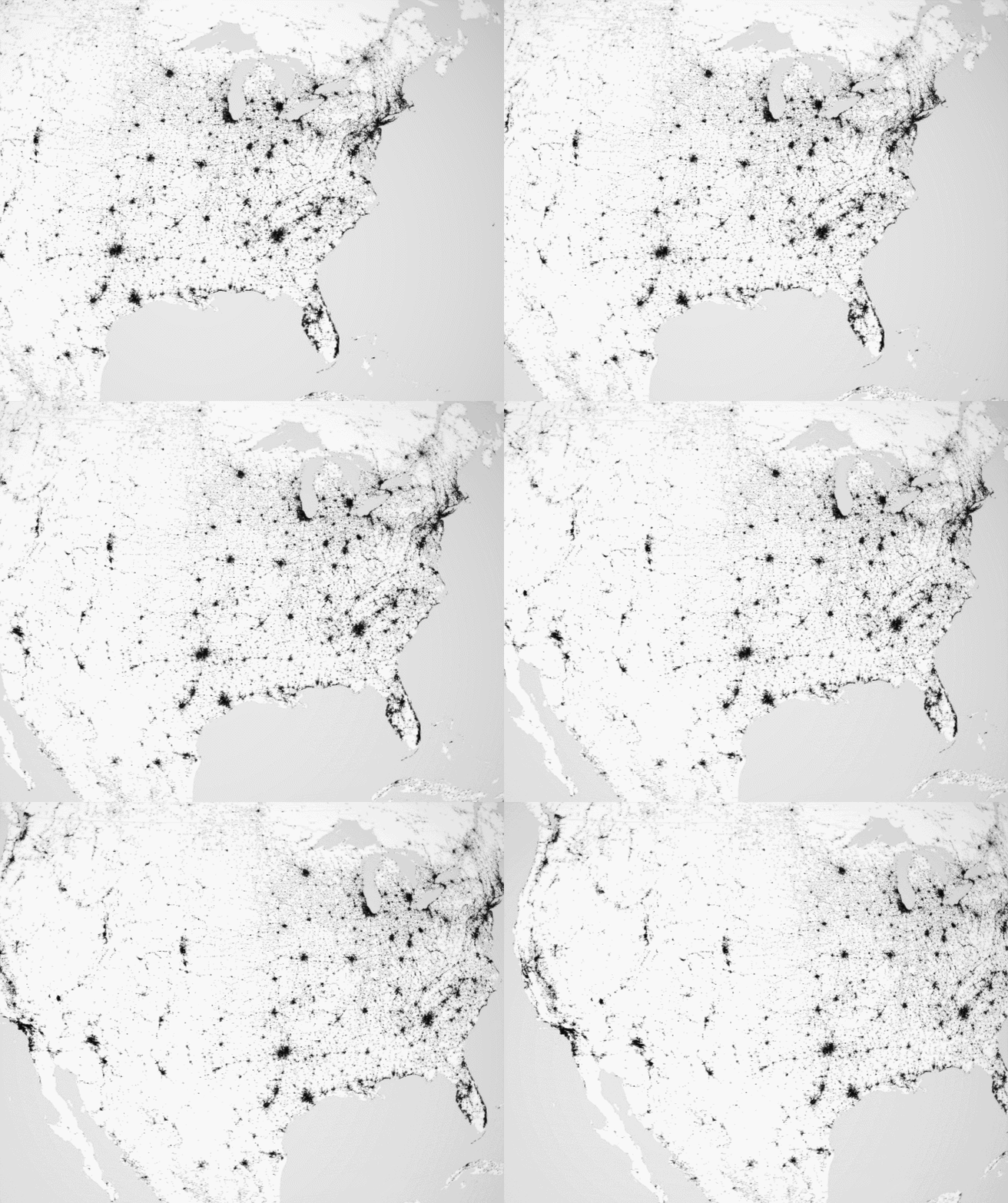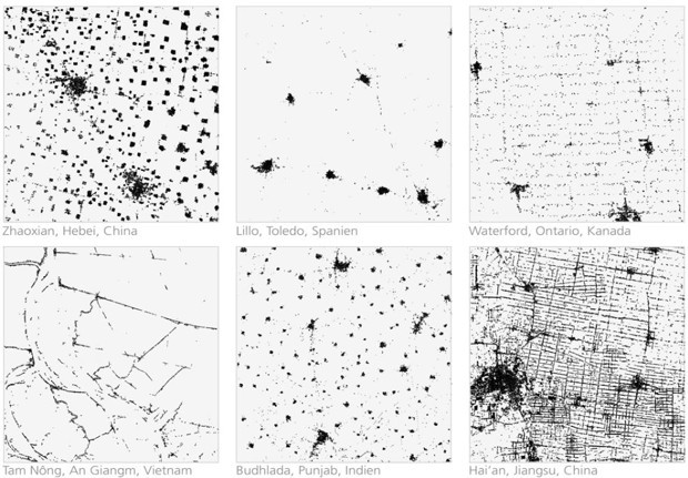
This beautiful map shows traces of humankind around the world
Humans have changed the surface of the Earth much more and much faster than any other species before us. In nature, we observe many animals also shaping their surroundings, just look at ants or beavers. But the scale of human influence on our planet is uncomparable. It lasts already for over 10 000 years (dating back to the beginnings of agriculture) but it dramatically accelerated in the last few decades. 2008 was the first year in which more people lived in urban areas than in rural regions.
The German Aerospace Center (DLR) has created a project which maps this impact and visualises human footprint around the world. The team of researchers processed and evaluated a total of 180,000 individual images and more than 308 terabytes of data and came up with this unique, minimalistic 3D globe. The map has been created using just three colours: black for urban areas, white for land surfaces and grey for water.
The images are based on data acquired by the German radar satellites TerraSAR-X and TanDEM-X. The images were taken from the altitude of over 500 kilometres with the resolution of 12 meters (40 feet). The two sibling satellites needed 2 years to cover the entire surface of Earth and this was possible only as the radar sensors are able to ‘see’ through clouds and can even record data at night. The task facing the scientists was to calibrate the automatic survey process in such a way that structures like trees or lampposts would not be recorded, while individual houses could still be detected. This all allowed to create a dataset with a precision currently unparalleled by any other global surveys.
Amazing project.
Did you like the article? Read more and subscribe to our monthly newsletter!


