Uber has made no secret of their interests in developing self-driving cars and has been driving mapping cars around for a while now but today, they still have to improve their service specifically – pick and drop off locations. It still remember trying to select the pickup location and simply couldn’t believe how annoying (and inaccurate it was).
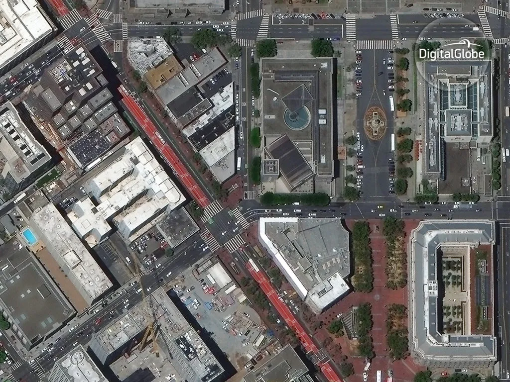
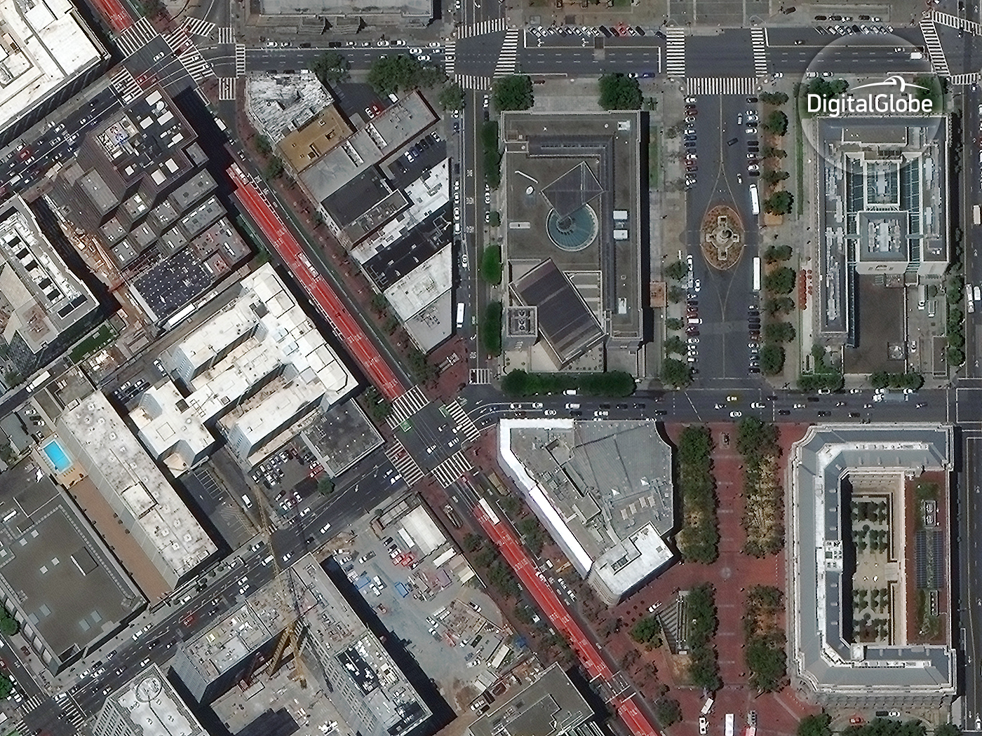
Earlier today, DigitalGlobe announced a multi-year, global partnership with Uber to help the ride-hailing company exactly on this front.
…This imagery will help improve the Uber experience for riders and drivers around the world. Specifically Uber will leverage DigitalGlobe’s industry leading constellation of sensors to access imagery and location intelligence to help identify and improve pick-up and drop-off locations…. – Kevin Bullock, Director of Business Development, DigitalGlobe
Interestingly, Uber already uses data from FourSquare and has a partnership with TomTom (besides Google Maps) to help improve the experience for both riders and drivers. Data from DigitalGlobe isn’t only going to allow Uber to improve their maps, it’s also going to help them build a much better service as a whole. Facebook created the most detailed population density map of the world using Satellite imagery and now it’s time to wait and see what Uber has in mind.
Who knows, maybe FourSquare checkins together with detailed analysis of satellite imagery might help Uber predict demand at a much better level than what is currently possible.
…At DigitalGlobe, we’ve spent the last decade developing advanced technology that scans the Earth with the highest accuracy and resolution in both visible and non-visible wavelengths. This capability gives our customers an unprecedented ability to understand the environment in which they operate, and in turn, to create new and disruptive services that change the way we live… – Kevin Bullock, Director of Business Development, DigitalGlobe
We certainly live in exciting times!


