
Searching for Location data that is openly available for a particular region can be daunting task if you are not someone who knows where to look for the right datasets and unfortunately Google really can’t help us with these things (yet). You don’t have to take my word for it, try “Where to get Location data for India” as an example. Yup! Now you know what I am talking about.
Data Observatory
CartoDB probably also recognised the challenge in accessing location data for a given region and Earlier this evening announced the launch of a new app/feature/technology called Data Observatory on.. where else but Twitter 😉
Making the world's most valuable location data available in CartoDB w/ the Data Observatory: https://t.co/fiFMxPfJ2V pic.twitter.com/PoOR6xmb4X
— CARTO (@CARTO) May 18, 2016
Data Observatory makes it easier to search for and include location data for a particular point or polygon in your analysis inside the CartoDB editor. Data Observatory could be the next big thing in CartoDB’s quest for Location analysis, as it simplifies the process of searching for location data for data scientist and journalists who many not always have the resources and the experience to know where to look for the data.
Location data has been used for some amazing and very interesting analysis (Read: FourSquare predicts Chipotle Q1 results) and the more the barrier to access data reduces the more, we are going to be able to discover the underlying patterns in our data.
The Real Winner is Open Data
Esri has it’s open data platform which can be compared to CartoDB’s Data Observatory but the former is still every much a geek tool and is seems to be a work in progress. It’s definitely going to be interesting to see how much the Esri OpenData platform and CartoDB’s Data Observatory help spread awareness about the different Open location datasets available.
Check it out
At the moment, the feature is only available for enterprise accounts but others can use parts of the Data Observatory via the Data Services API or just send out a tweet if you want to check it out, pretty sure they will be more than happy to give you a sneak peek.


#Ideas


Next article
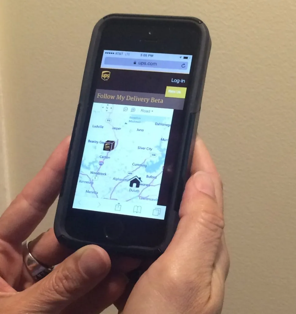

UPS Map
Do you also know the feeling of a total frustration when waiting your package to arrive? The new service by UPS is trying to solve that problem by showing you on the map exactly where your package is located in a real-time. The feature is called Follow My Delivery and it’s available for the UPS Air and UPS Worldwide Express packages. To be eligible, customers will have to sign up for a free “My Choice” account.
The new UPS service is straightforward yet effective. It provides a simple website interface where customers can see the location of the UPS driver on a map in real time. While it does not offer details like the driver’s exact route or precise delivery times, this feature still marks a significant improvement in package tracking. By implementing this service, UPS not only enhances transparency in the delivery process but also sets a higher standard for competitor services, offering customers a more engaging and informative way to monitor their shipments.
A similar system has been introduced to track the location of your Comcast technicians last year. Do you think it’s a useful feature? Share you view in comments.
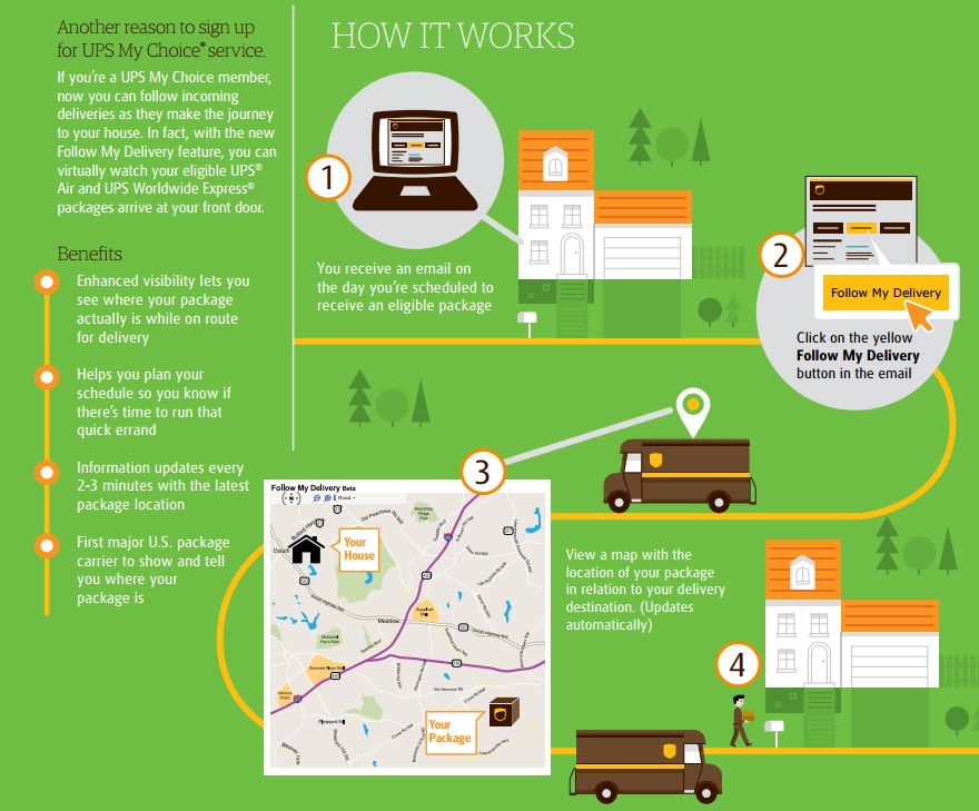
Infographica: How it works
Did you like this post on UPS real-time map tracking? Read more and subscribe to our monthly newsletter!

