Contour GPS Cam For Outdoor Adrenaline Junkies
 Those of you who know me personally are probably aware that I’m totally crazy when it comes to 1) location technology 2) free ride skiing. So you can imagine what happens when there are those two components of my life brought together… We had a lot of fun with creating films using Go Pro cam of my friend last skiing season but what I didn’t like about it, was that is nothing spatial about it. No maps. No coordinates. Nothing.
It’s cool because of many things
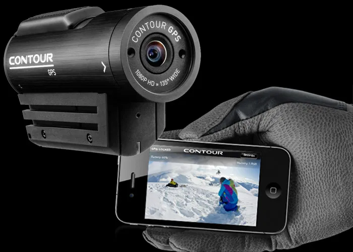
So when I’ve heard those three magic letter (g,p and s) in the new outdoor cam called Contour GPS, I immediately got interested. The design of the device… I think really cool and far much better than angular Go Pro, however the shape of Go Pro allows to attach it to practically everything that’s moving. Smartphone integration – you can actually connect your cam to your iPhone or Android phone and have preview of your video – extremely cool!!! But now… why it’s REALLY amazing…
Location, location, location
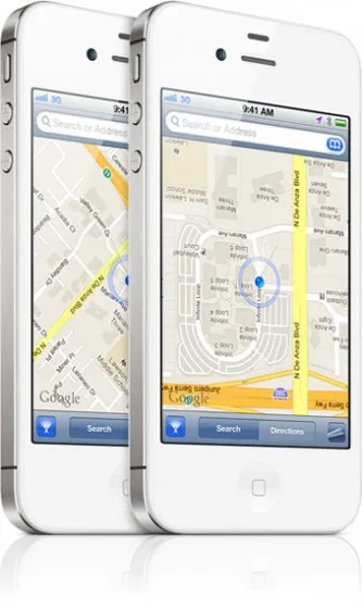
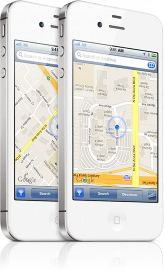
 Because of GPS and how it’s used for post processing of your videos. You can upload a video from the app to Contour website and you can use a tool for story telling where you see preview of your video together with real-time Google Maps overlay of where the wearer was during this frame of footage and how fast he was going plus you can display altitude changes. Great, great, great. This is something that can finally unleash the power of using GPS with outdoor cams!!!
Unfortunately the price is not low… $350 plus at least $100 for accessories but from the other hand, there is nothing like that on the market.
Check out the video with map preview:
And a test made by adrenaline junkies:) :
source: Engadget


