At some point of time or the other, we have all come across the statement “80% of data has a spatial component“, regardless of whether that statement is accurate or not, what makes me wonder is whether 80% of all companies in the world use that spatial component to make decisions? if not, what is preventing them from doing so? Is GIS too complicated for professionals from other industries?
Geoblink, the Madrid-based startup is changing the game by developing a SaaS-based location intelligence solution that enables professionals from the retail, real estate, and FMCG industries to make informed decisions about their business strategies.
Their biggest selling point is ease-of-use and their visual interface, which brings advanced data capabilities and predictive technology to empower a company of any size to perform in-depth market research and gain strategic insights in a matter of minutes.
I had the opportunity to chat with Miguel Angel Fajardo, VP of Technology at Geoblink about their vision, the engineering challenges in building a SaaS-based location intelligence solution and the geo-scene in Madrid. Read on!
Q: Miguel, thanks for taking the time. Geoblink was started at a time when Location Intelligence is really starting to become a mainstream tool for business intelligence. Could you tell us more about what made Jaime take the leap of faith and start his own Location Intelligence company?
A: Our Founder and CEO, Jaime Laulhé, spotted a gap in the market during his time working at McKinsey. Many of his retail clients were making strategic decisions about their businesses based on previous experience and intuition. Jaime realized that those retailers could make the process more efficient if they had a tool to help them do it.

He envisioned a map-centric software solution that targeted the heart of retailers’ location problems, combining at its core advanced analytics such as sales forecasting and powerful data sources displayed on an intuitive interface. That was when he decided to build Geoblink three years ago in March 2015. And that is what has brought me here today.
Q: Geoblink specializes in providing Location Intelligence for retail, real-estate and FMCG (fast-moving consumer goods). Why these verticals? What makes them stand out from a Location Intelligence perspective?
A: We started out with retail and opened to real estate and FMCG because we saw that they also had Location Intelligence needs. We have worked on developing our product for these three verticals because we wanted to provide a solution that really solves the location challenges our clients struggle with.
The retail, real estate and FMCG sectors are more interconnected than you might think. The retailer buys or rents the property from the real estate firm and the FMCG brand negotiates to sell their products inside the retail establishment. Our Location Intelligence product has been designed to understand the intricacies of the relationships between these three industries. I would say that this is what makes it stand out the most. It is what has allowed us to ensure our real estate clients obtain the market analyses they need to maximize the assets in their portfolio, help retailers to choose the locations with the most potential and enable FMCG companies to successfully move their products down the supply chain by developing powerful, data-driven strategies. Building our product both for and with our clients has made a big difference for them professionally and has helped them truly understand how location affects their businesses.
Q: Let’s dive a bit more diver into one vertical – FMCG. It’s not new that big supermarket chains use LI to figure out where to open their next store. Geoblink does actually way more than that. You help them “choose the right products at the supermarket level.” Could you perhaps tell us more about this and the engineering challenges that come with building a LI stack that is scalable?
A: With all of the data at our reach, we are able to analyze different consumer profiles to understand which kinds of products they purchase and help our FMCG clients rebalance their product mix. This sounds simple, but it’s a lot of data to cross carefully!
Regarding the challenges, even though GIS has been around for a while, there are still a few problems to overcome from the engineering perspective regarding how you use it to build a LI solution. For us, the most challenging one is combining GIS and Big Data. Some of the more common technologies out there to implement a high-volume distributed database like Cassandra or a parallel processing system like Spark and Hadoop are quite mature and have been implemented successfully in different realms, but what we see is that this hasn’t been the case for geolocated data like GPS or postal addresses. There are a lot of challenges ahead and I am convinced we will see a big development in this regard in the upcoming years, as some of these systems are extended and used to create faster and smarter functionalities for Location Intelligence.
Q: Geoblink is a “Software as a Service” company. In your opinion, what has been the biggest challenge in convincing customers of your location intelligence solution?
A: Location Intelligence is a burgeoning technology on the market. Business professionals are becoming increasingly more aware of its existence because they are actively searching for a solution to solve their location-related challenges. This developing need for companies to make smarter decisions when it comes to location has really paved the way for us. On top of that, we work hard on having a product that is intuitive from the user perspective and clearly shows its value. When we give them a demo of the platform, they instinctively react in a really positive way. They often mention how they could never imagine something that fast or powerful! That’s been a key aspect of our product for us.
Q: On a lighter note, what does Geoblink mean? Well, the “geo” part is self-explanatory, the blink part is, well, it piques my interest!
A: Yes, the “Geo” in Geoblink is pretty self explanatory for Geoawesomeness readers! The Blink part is actually a cool story. Our CEO was reading an inspirational book called Blink which explores decision making and how mental processes work to make judgements. The team was brainstorming about the name because the “Geo” part was a “must,” and Jaime happened to think of the book and put the two together: Geoblink. It’s actually perfect because, as I mentioned earlier, we built the Geoblink platform to help our customers make faster and smarter decisions when it comes to location. Strategic decisions are made by paying attention to details and business professionals need to have the right data to quickly extract powerful insights by understanding the story behind the data. This is exactly what Geoblink does, which makes both the “Geo” and “Blink” concepts fully represented in our company name and product.
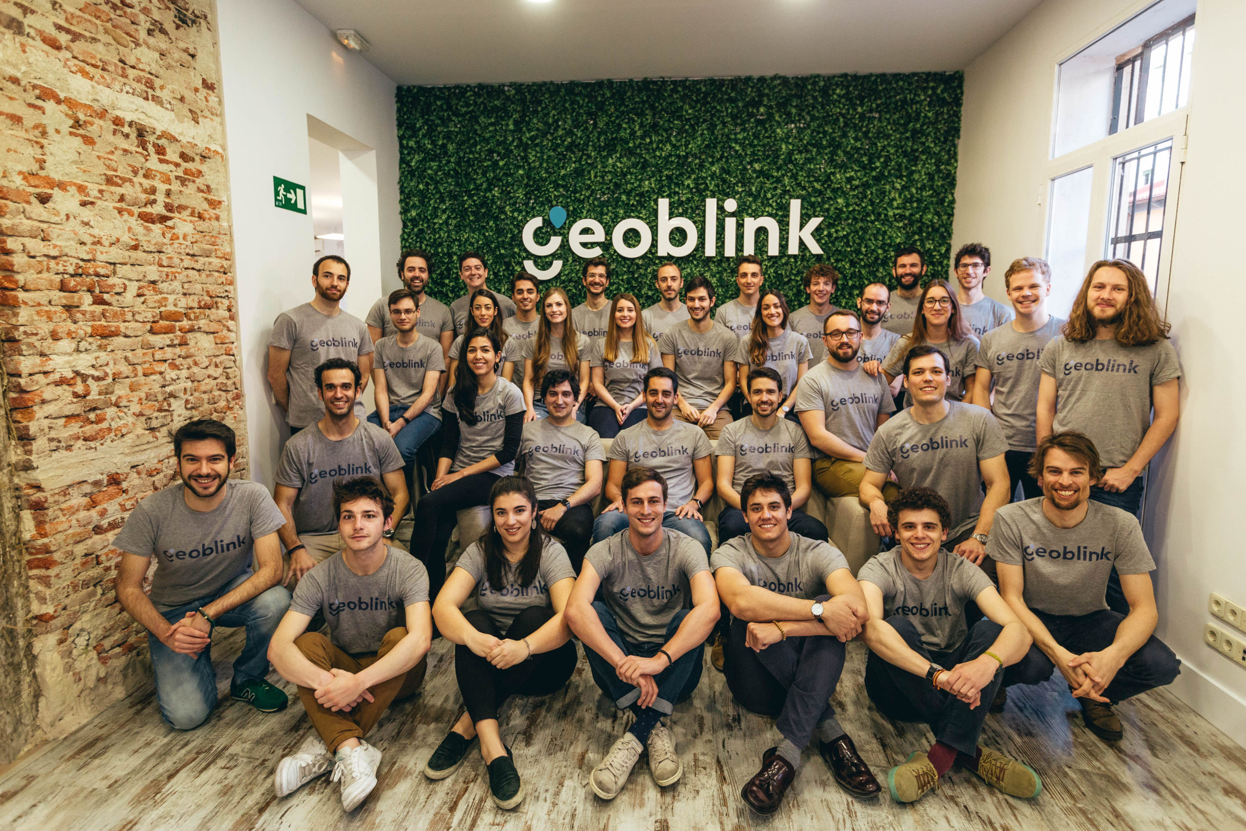
Q: You guys have a lovely office in the heart of Madrid and it was a pleasure to meet your team in person. What stood out for me was that the core team of Geoblink are all from a non geo-industry background. Has that ever been a challenge for you and your team? What do you think about the “spatial is special” opinion that some in the industry (still) have?
A: Location Intelligence has a diverse technological makeup. While it stays true to its GIS roots, there are other technologies that make Location Intelligence what it is today. The Geoblink platform uses a combination of Big Data, geospatial analysis (GIS) and Artificial Intelligence techniques to provide our clients with highly contextual results about what is going on in a particular area. We do have GIS experts, but we also needed to grow our team with other Data Science, Engineering, Product and Business profiles to help us take our company and product to where we are today. The diversity in our skill sets is one of our strong points.

Q: Could you tell us a bit about the tech stack at Geoblink? What technologies do you use? What programming languages, etc.
A: We have three areas of technical complexity, with three different stacks to implement them: data processing, GIS and the web-based front end.
We are obviously big fans of Python, it’s essential in the world of data these days. We use Jupyter notebooks on a day to day basis and implement parts of our Machine Learning components with SciKit Learn. One area that we have been developing a lot in the current year is automated pipelines with Luigi and Airflow; we are very happy with them and encourage everyone working with data to give them a try. We use Spark to parallel process the sources containing big volumes of data. Our two main databases are Postgres with PostGIS on top along with Neo4J to store the graphs representing the roads and streets in a map.
We are also heavy users of Node.js that we use to build the final web product. It’s an SPA with tons of functionalities showing all sorts of statistics and graphs on top of maps. Moreover, we have worked hard to polish the UX to make our product as intuitive as possible and use Vue.js so that it’s easier and more fun to develop — and it runs very fast!
We write about how we use some of these technologies in our blog tech.geoblink.com, I encourage all of your readers who want to know more about our stack to take a look.
Q: How’s the geo-startup scene in Madrid these days? I have the impression that Madrid is the LI capital in Spain, do you think that’s accurate? How is the investment climate for companies like Geoblink? Are there any local meetups/events that cater to the geo community?
A: Madrid is, with Barcelona, the hottest startup scene in Spain. They come right after the four largests hubs in Europe (namely London, Berlin, Paris and Amsterdam) and are growing stronger every year. We are very excited to see these numbers go up, both in the number of startups and the amount of investment funding that has become larger and more accessible than ever before. This is good for the ecosystem and allows for more startups to be created and enter their respective markets. You can also see this is happening based on the growing number of events and conferences that are making Madrid a key city for nurturing startups. The largest business and technology events in the country for startups, such as South Summit and Big Data Spain, are held here in Madrid.
Regarding Location Intelligence, I think you are right. There’s a LI ecosystem growing in Madrid with several startups exploring the limits of LI products and how they can help companies better understand their location data and know what to do with it. We have recently started sponsoring some of the LI events in the city, like Geocamp, to help keep expanding the LI community and spread some of the knowledge we have learned about the GIS technologies that fuel our LI solution.
Q: Okay, this is a tricky one – on a scale of 1 to 10 (10 being the highest), how geoawesome do you feel today? 🙂
A: I am definitely feeling pretty Geoawesome today, so I would say a 10. I’ve been an avid reader of the blog for quite some time now, and I’m happy to get the chance to participate and talk about the Geoawesomeness stuff we are doing at Geoblink. Thanks for having me!
Q: As the Chief Technology Officer of a LI startup, what is your advice to people looking to build a product?
A: My main advice would be to always have iteration and focus in mind. Both are very relevant when crafting your strategy to develop a product with technology that supports it. When you are starting a project, there are literally thousands of paths to choose, ideas to try and technologies to use to implement them—both old and new. It’s very easy to get lost in an ocean of options that will drain the time and energies of a team of any size, especially a small team that is trying to start a business. You should start small and iterate in fast cycles to validate the direction you are taking.
It is of paramount importance to think before executing, ask your users (or potential users), make a specific plan for the next month or so and stick to it. Then take a moment to stop, step back, look around, and ask yourself “were the changes successful?” Did they help your company move forward? It is completely fine if they did not, so you can build on that knowledge and try something different.
You should be focused on the things that will help develop or validate your product or the technology underneath, iterating in small cycles so that you won’t get off-track if you are wrong in your assumptions. This will help you to avoid scattering your efforts and doing too many things at the same time while progressing in none of them. I think this also applies to the tech side: always use the simplest set of technologies that will allow you to execute successfully, and keep an open mind when it comes to trying different technologies and processes if the current ones cannot support your product anymore. Do you need microservices to implement a simple architecture when you are starting to build a product? Probably not, and the same can be said about NoSQL and other technologies that will require a full-time team just to keep them up and running.
The Next Geo is supported by Geovation:
 Location is everywhere, and our mission is to expand its use in the UK’s innovation community. So we’re here to help you along your journey to success. Get on board and let’s start with your idea…
Learn more about Geovation and how they can help turn your idea into reality at geovation.uk
About The Next Geo
The Next Geo is all about discovering the people and companies that are changing the geospatial industry – unearthing their stories, discovering their products, understanding their business models and celebrating their success! You can read more about the series and the vision behind it here.
We know it takes a village, and so we are thrilled to have your feedback, suggestions, and any leads you think should be featured on The Next Geo! Share with us, and we’ll share it with the world! You can reach us at muthu@geoawesomeness.com or via social media 🙂

 Every year, thousands of Geogeeks worldwide celebrate International GIS Day. Guys at GIS Cloud are also joining the celebration by launching another GIS Day Contest with the goal to promote initiatives and project ideas that influence advancement and sustainability in local communities around the world.


