#Business #Ideas

Apple launches new Indoor positioning app: Indoor Survey

Apple has been interested in the indoor positioning industry for a while now. Back in 2013, it acquired WiFiSlam, an indoor positioning startup and iBeacon has been around since iOS7 which launched around the same time. Fast forward to today and it seems Apple is on the verge (well, the app is already out in the iTunes store) of releasing its indoor positioning app to the public!
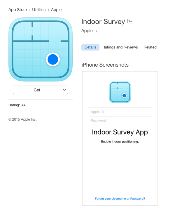
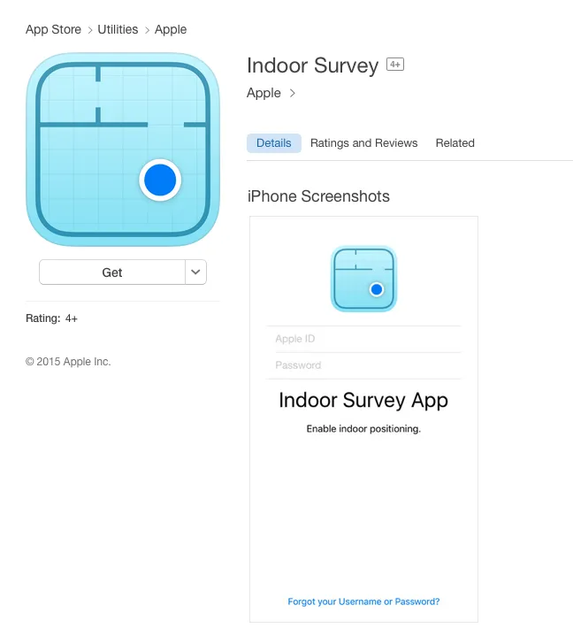
Screen Shot 2015-11-05 at 21.36.00The app titled “Indoor Survey” (don’t bother searching the app store, its only accessible via the direct link, at least so far) has this description,

Description of “Indoor Survey” – Image: iTunes Store

Apple insider tried out to install it 3 days ago and they weren’t successful as Apple still hasn’t really released it to the public. But it was 3 days ago. The app is only compatible with devices running iOS9.0 or higher, so if you have an iDevice check it out and maybe you are lucky 😉 (Related: Apple indoor positioning app ‘Indoor Survey’ spotted on iOS App Store).

The app launch doesn’t really come as a surprise, as last year Apple already had all the APIs (CoreLocation API) in place with iOS8 for just such an app! All said, Indoor positioning has really taken off as expected and has been on the fringe of being the “next big thing in marketing” for a few years now. Hopefully, the new Indoor Survey app from Apple will help nudge the indoor positioning market in the right direction.

Say thanks for this article (0)
The community is supported by:
Become a sponsor
#Business
#Business #Featured #GeoDev
Geo Addressing Decoded Part 2: Beyond Coordinates – Exploring the Depth and Impact of Geo Addressing
Aleks Buczkowski 05.2.2024
AWESOME 4
#Business
Geo Addressing Decoded Part 1: Why Does Geo Addressing Matter?
Aleks Buczkowski 04.16.2024
AWESOME 6
#Business #Events #Featured
The Future of Navigation: How Satellite Data Shapes Map Innovation
Avatar for Muthukumar Kumar
Muthukumar Kumar 10.29.2024
AWESOME 1
Next article
#Business #Ideas

Maps4news lets you easily make awesome maps for print and web media

Maps4news - Geoaweosmeness

When I see an awesome map in a newspaper or magazine I always wonder how much work it required to design and draw it in Adobe Illustrator or Corel Draw… In fact maybe much less than I thought.

Maps4news is a platform that allows for designing awesome looking maps online and downloading them in a vector format needed for printed media (you can of course add images to the internet).

The platform lets graphic designers spend time on their own magic, rather than spending hours on the basics of creating a map background. The tool allows you to select one of predefined map styles or to create a new one. Than you can add multiple points, polygons and lines as well as graphic elements like arrows or icons. At the end you can download the map as an image or an editable vector file.

Maps4news graphic engine allows for couple of cool features. In the example on the video below you see that it can scoot labels on your map around your image, text box or marker (in that example represented by the dot).

Mathijs van Dijk, marketing director of Maps4news told us that over 120 newspapers around the world use their platform and the company is growing fast. Basically if you have to do a map for printed media or a simple not very complex interactive map you use Maps4News,
and if you have to make an awesome comprehensive looking map data visualisation you use Mapbox, CartoDB or ArcGIS online.

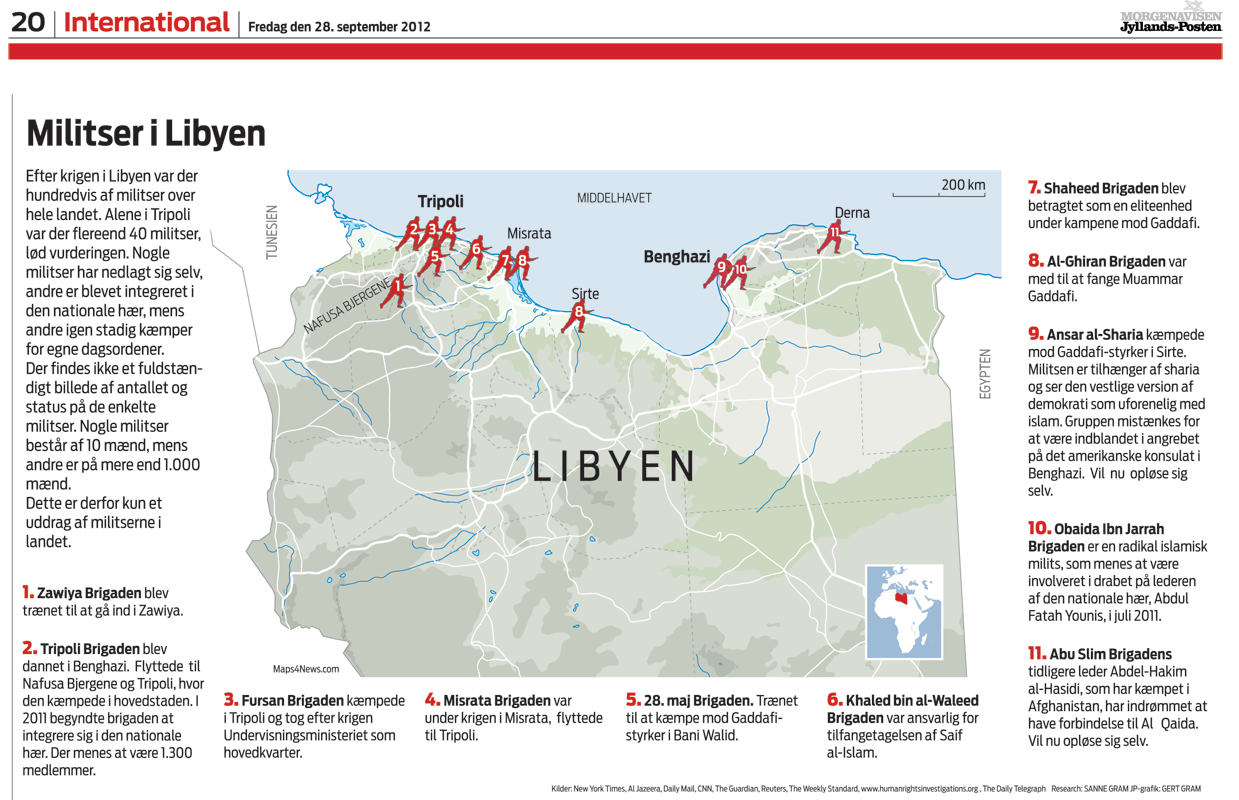
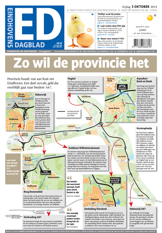
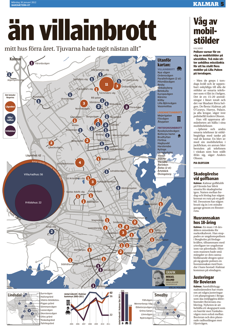
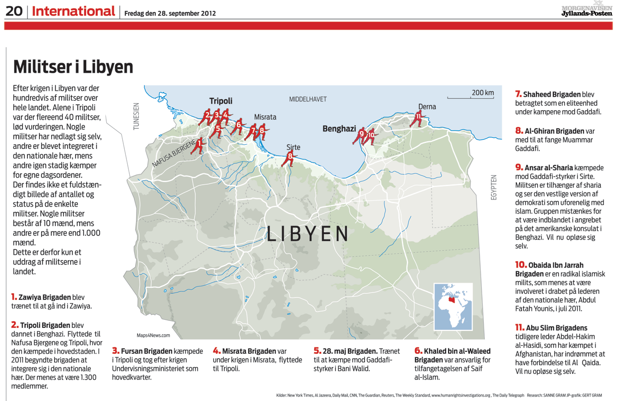
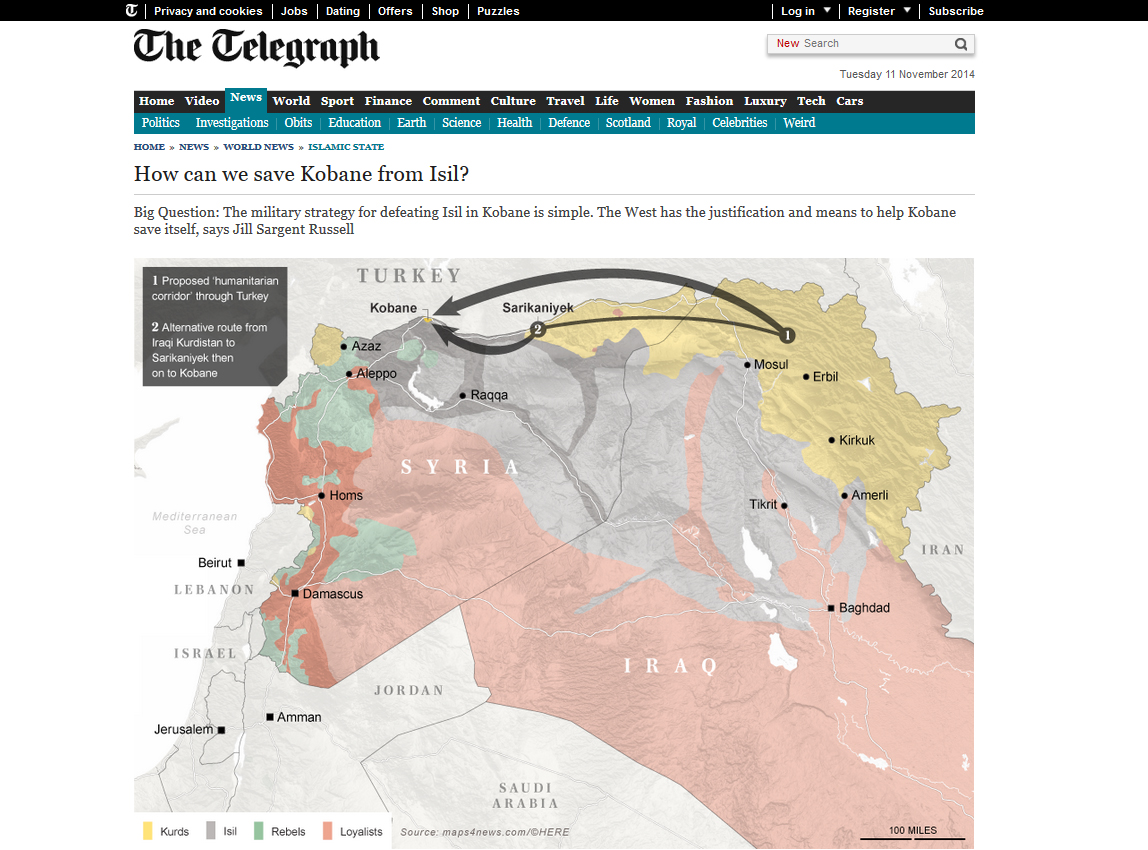
The platform is really fast and easy to use. You can generate 10 maps for free to test it. Below you’ll find couple of examples from newspapers around the world.

Maps4news example 6 - Geoawesomeness Maps4news example 5 - Geoawesomeness Maps4news example 4 - Geoawesomeness Maps4news example 3 - Geoawesomeness Maps4news example 2 - Geoawesomeness Maps4news example 1 - Geoawesomeness Telegraph-online

Read on
Search