This post was written by Saskia Schneider from the Communications team at HERE and is based on content from the full trends report, which was researched and authored by HERE’s Design Forward team.
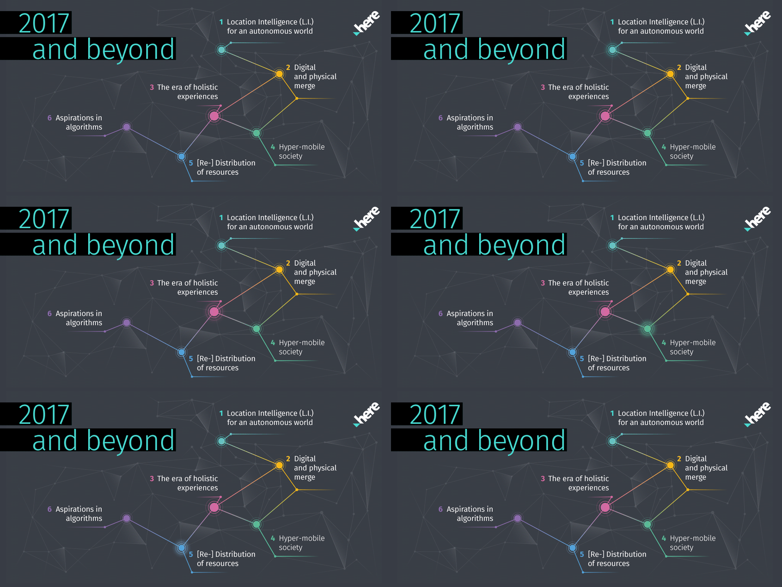
 The Design Forward team at HERE have once again been looking into a variety of industries and identified patterns to predict location trends for 2017. The team focuses on cross-industry research, including markets outside of HERE’s current business areas. By attending relevant trade shows, conferences, and events first-hand, they look at changes affecting people’s lives and make speculative guesses about the future as well as the role location could play in these scenarios. The goal is to trigger innovative ideas for location technology development. This year, six have made the list:

#1: Location Intelligence (L.I.) for an autonomous world
Thanks to highly automated and accurate analyses of large sets of data, we are better equipped than ever to simulate and predict situations to determine a favorable outcome. In Reykjavik, for example, traffic lights now automatically turn green for emergency and public transportation vehicles, and Rob van der Burg is developing cybernetic plants called “Nova Eden” that have the power to move to a sunnier spot at will—without the help of humans. Pretty cool, but without L.I., most autonomous innovations wouldn’t get very far.
#2: Digital and physical merge
Imagine a world in which robots and humans aren’t distinguishable by looks, speech, or even intelligence. Cyberpunk would become reality. We’re not quite there yet, but it’s clear that it’s the future we’re working towards. As artificial intelligence becomes increasingly humanized, humans become increasingly digitalized, and it will be up to us to find the right balance between the two. With location technology being at the core of this merge, HERE will play a key role in making sure we won’t wake up in our own Matrix one day.
#3: The era of holistic experiences
It’s been five years since The Atlantic’s article “The Cheapest Generation: Why Millennials aren’t buying cars or houses, and what that means for the economy,” but the trend of sharing things has only continued to grow. We no longer buy cars or stay loyal to brands, we buy and consume experiences. More and more touchpoints emerge between sectors that have traditionally been separate, bringing a new set of opportunities—all powered by location: autonomous cars as offices on-the-move, machines in charge of agricultural fields, and drones as mail carriers delivering to previously inaccessible areas.
#4: Hyper-mobile society
Maybe one of the reasons we no longer aim to own but to share is our everlasting thirst for adventure. We’re never somewhere and always everywhere—we’re hyper-mobile. Digitalization has created a world in which physical borders play less and less of a role, inspiring products, services, and institutions to follow suit by offering mobile features: backpacks that power digital devices, beds that can be built anywhere, and governments that don’t require residents to stay within physical borders.
#5: (Re-)Distribution of resources
It’s no secret that the world’s need for resources will continue to grow in the years to come. A highly flexible and autonomous society requires massive amounts of energy to function. These resources will need to be less centralized to ensure a consistent supply everywhere and at any time. Using the power of location, we can help build smarter cities and environments that will better (re-)distribute resources.
#6: Aspirations in algorithms
In many aspects of life, sophisticated algorithms have changed things for the better. We now have safer roads through analyzing and rewarding good road behavior and more efficient healthcare software that can create highly personalized diagnoses and treatments. But these advancements come at a price: We pay them with massive amounts of data and potentially risk loss of privacy. Ethics and social responsibility will thus play an even greater role in the future.
To get more details about the findings of HERE’s Design Forward team, check out the full disclosure of this year’s location trends on HERE 360.


