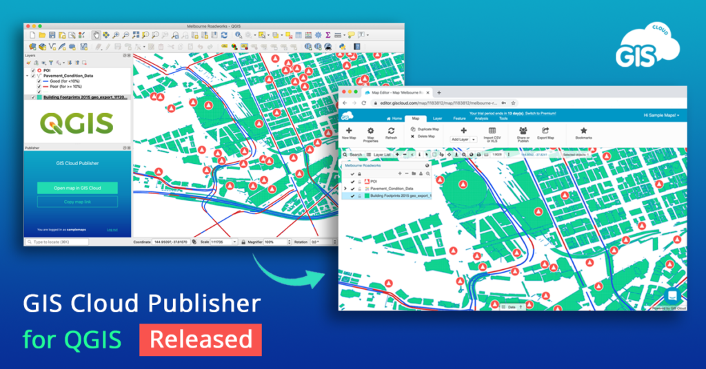
The free and open-source geographic information system (GIS) software, QGIS, brings mapping at the fingertips of numerous governments, businesses, NGOs, and independent developers around the world. The core functionality of the Python-based software can be extended further by using plugins – the small programs that run within the system and allow many new features to be added easily to the application. And this week, a nifty new QGIS plugin by the world’s first online GIS company, GIS Cloud, has grabbed our attention.

Created specifically to bridge the gap between desktop QGIS and the rest of the world, GIS Cloud Publisher for QGIS, will allow you to publish your QGIS maps online without tampering with the map symbology. The plugin supports all types of QGIS data (vectors, rasters, wms, wfs) and symbology styles (points, lines, polygons, categories, and label).
You can upload the entire map or just a few layers for a faster workflow. The single-click solution will also let you update all changes to your QGIS maps in any phase of the project – or you can choose to update only specific layers. Put simply, what you see in desktop QGIS will get instantly replicated on your GIS Cloud account with this plugin.
And did we mention you get complete control over who can access their data and a choice to upload the maps as public or private? If you want to share a map publicly, you can do that instantly with a web link. You can also share maps and data privately with colleagues and collaborate with them right inside GIS Cloud. What’s more, you can publish your QGIS analysis as well by first saving it as raster.
GIS Cloud’s QGIS plugin is compatible with QGIS 3 and QGIS 2, and it is highly-recommended for all GIS professionals in need of a quick and affordable way to share ‘heavy’ maps and datasets with clients or make the data public.
To test it out for free, create your GIS Cloud account today!


