UP42, a developer platform and marketplace for geospatial data and analytics, is joining forces with the United Kingdom’s leading supplier of aerial photography, Getmapping. Through this partnership, UP42 customers will get access to very high-resolution aerial data of Great Britain.
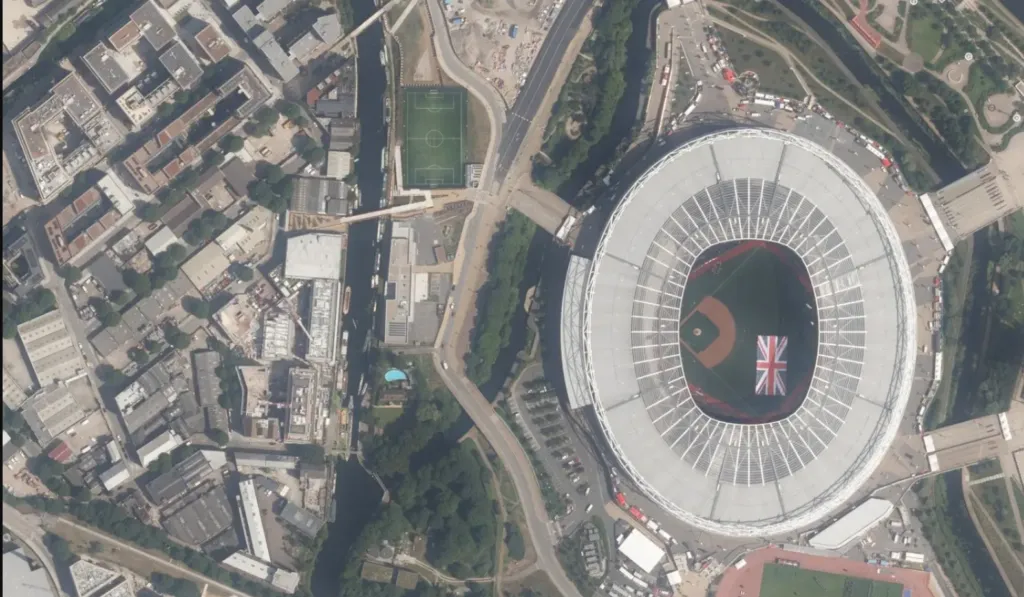
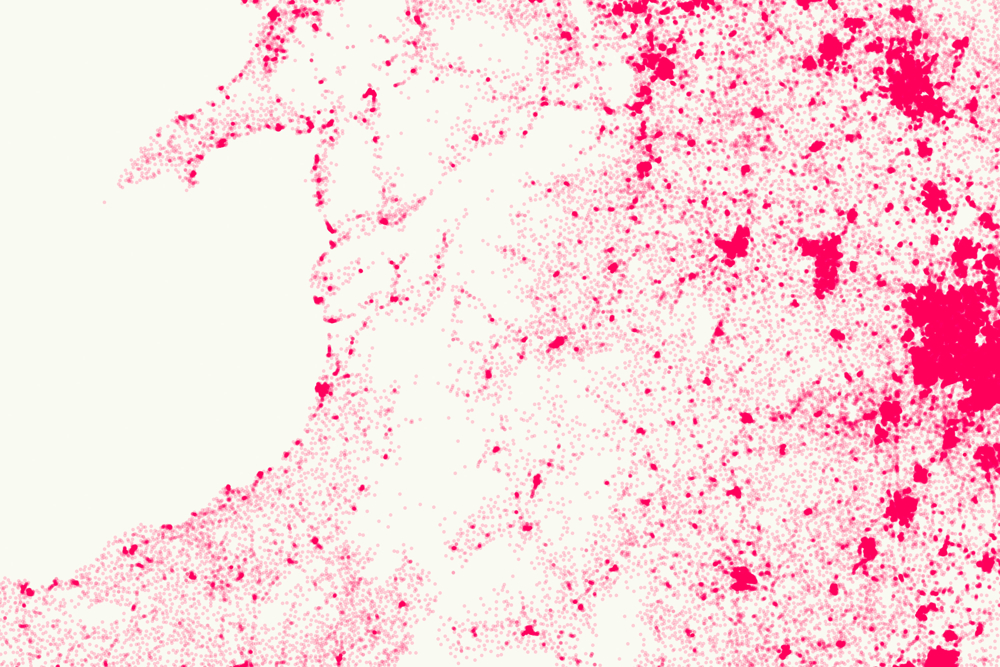
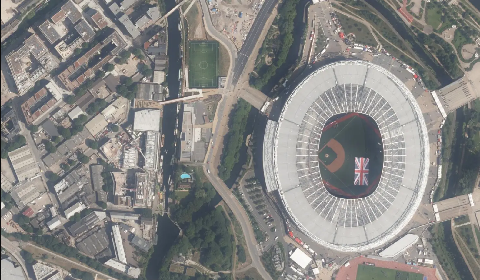
More specifically, UP42 will now be able to offer 12.5 cm resolution data for some of the most densely populated areas in the region, such as the majority of England and Wales, as well as southern Scotland. Further, aerial imagery with a 25 cm base resolution is being made available for the entire extent of Great Britain. It should also be noted that UP42 will offer both fresh and historical aerial photography in one convenient location.
While UP42 has been housing a wide variety of commercial and open-source satellite and weather data sources for a while now, Getmapping is its first source of aerial data. Founded in 1999, UK-based Getmapping has over two decades of experience in providing aerial photography as well as high-quality mapping products and geospatial solutions across Europe and Africa.
Stressing that this partnership will support the growing market need for high-quality data and encourage insights to solve important problems, Gillian Melham, European Managing Director at Getmappping, points to how the company’s ortho-rectified data can be used in a range of GIS and CAD systems.
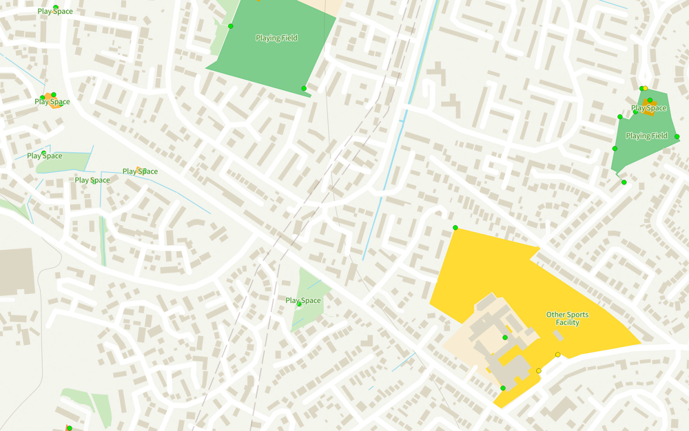
“Maps are the most well-known example of how geospatial data might be used but our data is used for many applications; 3D modeling of buildings and locations, environment monitoring for floods, vegetation, etc., pre- and post-disaster analysis and much more,” Melham says.
Sean Wiid, CPO at UP42, adds, “We couldn’t be happier to announce our first partner in aerial data. Partnering with Getmapping is a great leap forward. Our partnership is one that will support those looking to create solutions using very high-resolution imagery and provide value for customers across industries.”


