Web mapping has gone mainstream for a while now. Rather well-known tools such as CartoDB or Mapbox have helped boost the output of online maps on the web. Not a single day passes without new and amazing map output going viral within the various social networks. One of the main reason why this has happened is that these new applications have managed to bring down the entry barrier of creating interactive maps. Nice, but how did that happen?
Well, while desktop-GIS has traditionally been a niche market and an expert domain, web mapping has become something for everyone to mess around with today. You do not have to be a seasoned developer or a data scientist any more to display spatial information online these days. Well-known tools such as CartoDB’s online map editor or the newly released Mapbox Studio have made uploading and visualizing geodata a breeze through the use of super intuitive user-interfaces, drag-and-drop data upload and a limited selection of very powerful features for the display, manipulation and styling of geodata.
That’s nice, but how about location intelligence?
Now, while web mapping has made huge advances in this regard, digital location planning seems to have remained stuck in the early days. The geospatial intelligence market is still dominated by big players using expensive proprietary data and/or very expensive desktop software and things are as complicated as before. Companies that can afford the “luxury” of location intelligence usually have their own departments for location planning or hire external consultants.
Sadly, a number of fundamental parameters of location planning have still not changed since the 1990s: It requires (1) expensive proprietary data, (2) expensive proprietary software as well as (3) expensive staff dealing with (1) and (2). Small and medium size enterprises and startups, however, often cannot afford this and require more accessible, i.e. open solutions, for example when looking for the right location to open a new branch or new service hotspot. Also bigger companies could save a lot of money through more flexible alternative solutions.
Interestingly enough, this enormous market has not yet been catered to. In fact, many companies are looking for exactly that: Easy-to-use tools, which help them make smarter location decisions and can be operated by — let’s say an ordinary business analyst – instead of a GIS expert. And the question is right: Why should location planning be more difficult than today’s web mapping experience? It is fundamentally a no-brainer that location planning should be as simple as 1,2,3. Instead of accepting the “old” rules of the business, it is time to open up the tools of location planning to everyone and make it simple, more user-friendly and convenient.
Bringing location intelligence to the web will make expert GIS-analysis available to a wider audience.
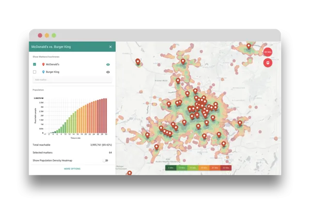
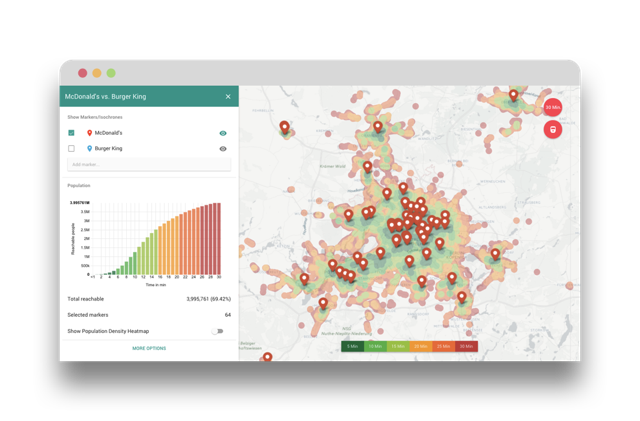
A few companies have already taken steps into this direction. For example, the startup Motion Intelligence from Germany has developed a simple tool, based on an open and free API that helps you find the right location, be it for real estate objects, hotels, shops, schools, doctors or any other Point of Interest (POI) with a geolocation. By using the app, you can learn, how many people (or potential customers) can reach your stores or locations within a given travel time, let’s say in 30 minutes by public transport. The trick is to combine advanced travel time analysis with open population or environmental data. The tool works in any modern web browser and its out of the box functionality makes it dead simple, so you no longer need expensive GIS solutions and support to make smart location choices. Other companies are following similar routes: Mapcite offers web-based location analytics tools for non-expert users, while Ubilabs’ Atlas solution is an easy-to-use online tool for location planning, which incorporates a catalogue of full-blown market research data. The future looks bright though. Let’s hope that more and more companies will follow suit and develop more advanced open location planning solutions for everyone to use.


