Mapping Mark Twain and his “Story World”
When you think about maps and stories, I’m sure your mind wanders off to the “Map of Middle Earth” by JRR Tolkien. Maps that were created by the author to illustrate his world that was a combination of fact and fiction and then there are authors who use real locations to weave a story. Of late there have been tons of interesting Story maps or “Storytelling with Maps” as ESRI’s page announces. Some of my favourite storytellers – Jules Verne, RK Narayanan, Mark Twain loved weaving a story adding the flavour of location to excitement and interest. Mark Twain is arguably one of America’s best authors and novelist if not the best. An interesting aspect of Mark Twain’s stories is that they involved interesting places on the planet and his stories did like to travel the world. Although I did read quite a few Mark Twain works during my childhood never in my world would I have guessed that he actually used over 20,000 locations in his stories!
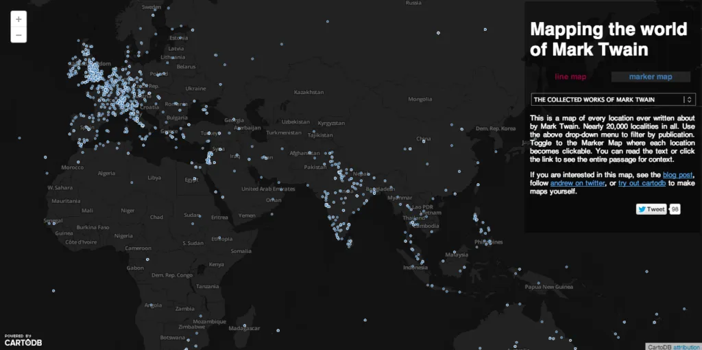
Interesting right? Andrew Hill (a biologist, mapper, technologist and thinker) found it so interesting and engaging that he decided to visualize The world of Mark Twain!
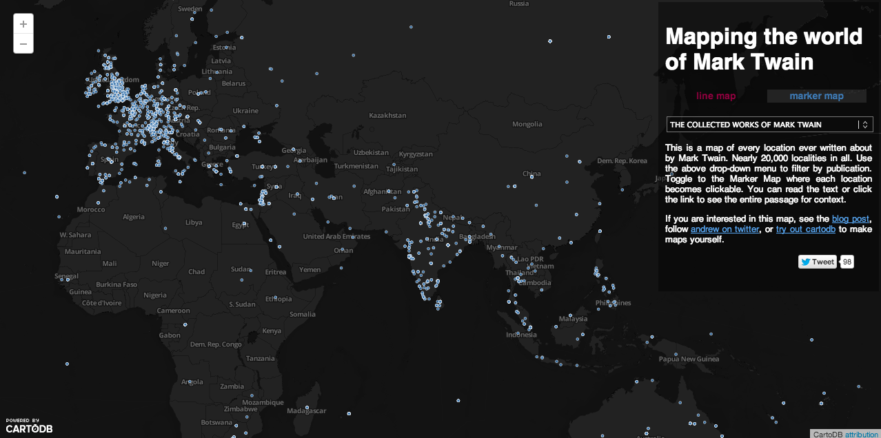
Mapping Mark Twain: It’s an amazing visualization of Mark Twain’s work 🙂 It certain brings back memories. Not only will you like the visualization but the best part is – you can read out passages from Mark Twain’s work with regard to that particular location! As geoawesome as it gets! Here’s the link to this amazing map.
Source: Andrew Hill’s Website and Blog


