This week in #GeoawesomeQuiz let’s look into the top tallest skyscrapers on our planet. One thing is to know them and be able to list them, the other thing is to recognise them based on satellite images. Share your score with the world!
Do you like our quizzes? We’ve got much more of them!
[viralQuiz id=44]


#Fun

Next article

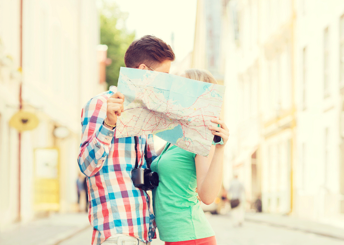
So you are a total map geek, and you want to share your passion with your boyfriend, girlfriend, husband or wife? Maps are quite likeable once you know them, so it’s not a mission impossible but it requires some effort from your side. Below you’ll find some practical tips on how to make your Better Half share your affection to “Geo”.
Falling in love is a long-term process. So don’t expect the results right away. You can implement these steps one by one or in parallel but remember to be subtle, gentle and not to push too hard…
Ok. Here we go:
Show him/her the beauty of maps
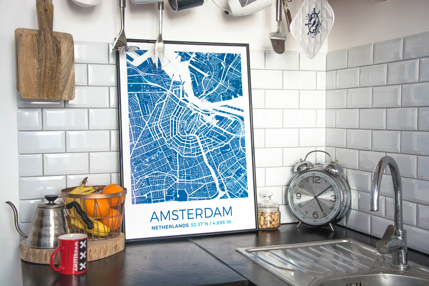
Find or create the best looking map poster of a meaningful place. His/her home town, the city where you’ve first met, etc. You can then physically add to it (stick or draw) a marker with the exact location on the map (e.g. home, place of you first sight). You can order it on Grafomap or get it hand-drawn by J.Peters Fine Mapping. This will bring some more emotions to the idea of maps and will show your Better Haft that “geo” is not a boring science but it’s also an art.
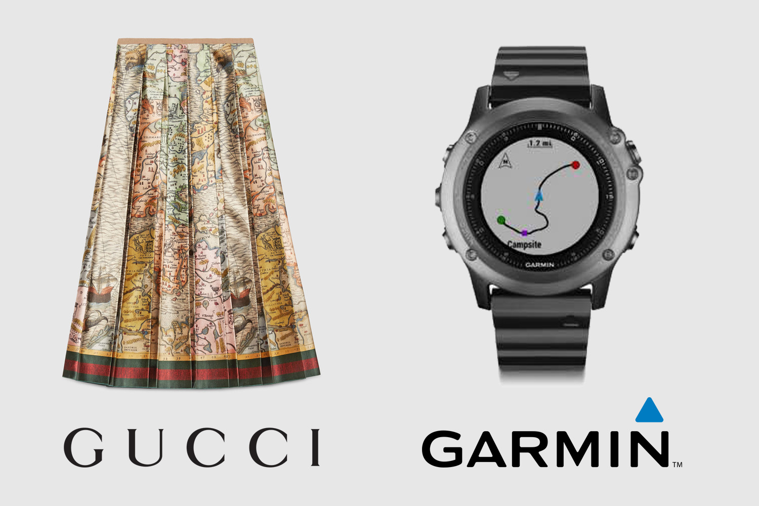
Dress like a GeoGeek
Women love clothes, men love gadgets. It’s a stereotype, but I bet it works in 8 out of 10 cases. Good news for the woman of your heart, map patterns are in fashion this year. Even Gucci has a sea map skirt in its latest collection. On the other hand, there are plenty of Geo/GPS gadgets for your men out there. One of my favourites is Garmin Fenix 3 – the multisport GPS smartwatch that every guy will appreciate.
Map clothes and/or geo-gadgets will show you partner in life that maps are fashionable and practical. Moreover, when girls ask where did she buy the skirt and guys will want to play with his new toy, they will both feel like someone special.
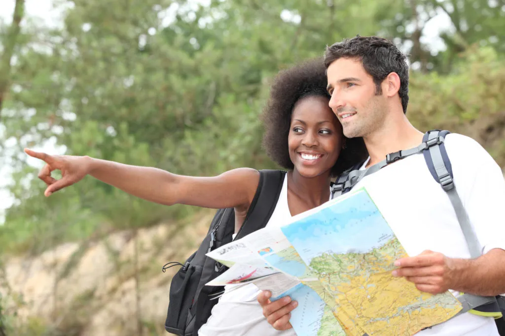
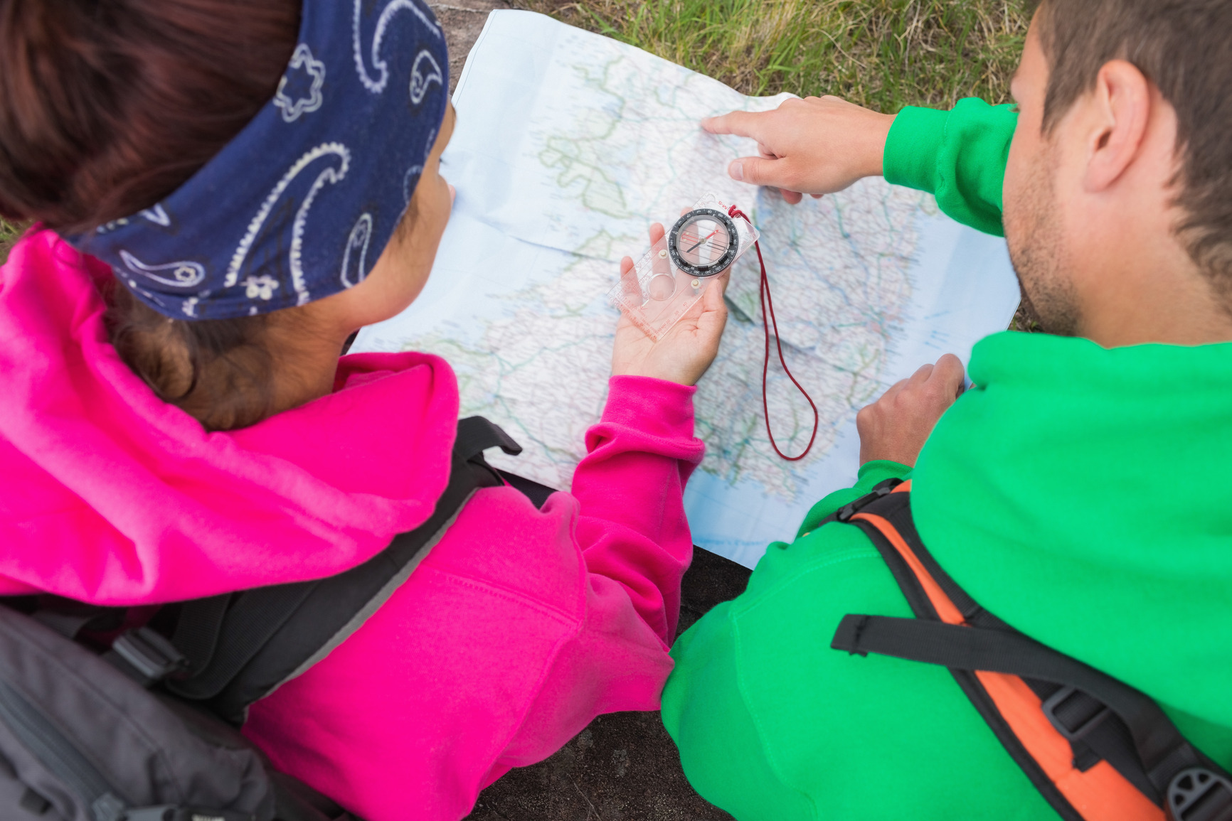
Learn how to use compass together
Your second half is surely using Google Maps or another mapping app. Show him/her what’s behind this technology. Explain the GPS technology and how the smartphone positioning works. But you should go a bit deeper than that. How did people use to navigate when there was no GPS? Nothing works better for a relationship than outdoor activities together. Take your Better Half for a hike and show him/her how to use map and compass. Download couple of youtube video tutorials just in case.
This will show your boyfriend, girlfriend, husband or wife that you can have a lot of fun with maps, even if you can’t wear them;).
Impress your Better Half and others with geo knowledge
Make your Better Half proud of you and jealous about your geo knowledge. Learn all the capital cities, highest mountain peaks, longest rivers on each continent etc. Check your knowledge with our quizzes. When the time will come, you will impress your better half and other people. Your girlfriend/wife will finally appreciate your passion to maps and geography. Your boyfriend/husband will most likely want to challenge you so he will start broadening his geo knowledge as well.

Be passionate and inspiring
And the end what really works is you being passionate about something. This is what should make your Better Half appreciate it. If at the same time you are inspiring enough he or she will seamlessly become a GeoGeek. Just because he/she loves you.