Orion, Welcome Back!

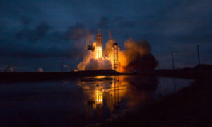
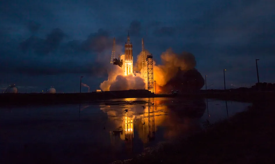
After a successful launch on Dec 5, 2014, the Orion space capsule spent four and a half hours around the planet before a triumphant splash down into the Pacific Ocean. The original launch was schedule for Dec 4, and got cancelled due to unexpected wind gusts.

Since its successful launch in December 2014, the Orion capsule has been central to NASA’s deep space exploration goals. The capsule orbited Earth and splashed down in the Pacific, proving its capabilities. It’s now integral to the Artemis missions, aiming to return humans to the Moon and beyond.

Orion Exploration Flight Test

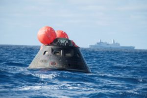
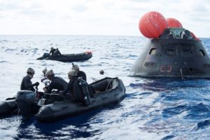
Orionrecovery

navy Source: NASA 

USS Anchorage of United States Navy retrieved Orion from the ocean and bringing it back to SanDiego, California. Navy’s amphibious specialists towed the capsule to anchorage in four small boats, some 600 kilometers off the west coast. Orion will be eventually taken to the Kennedy Space Center in Florida where it will be made ready for the next trial run in 2017. The capsule could eventually take humans into outer space, asteroids and the moon had its very successful trial run.

“Every single system functioned by the book”  said NASA spokesperson Rob Navias said on NASA TV’s live coverage.

That’s good news!


Did you like this post about Orion? Read more and subscribe to our monthly newsletter!

Say thanks for this article (0)
The community is supported by:
Become a sponsor
#
#0.5m #Agriculture #Construction #Contributing Writers #Energy #Environmental Protection #ESG #Financial Services #Geospatial analytics #Government #Hyperspectral #Military #Multispectral #Natural Resources #Optical #Real Estate #Science
The Critical Role of Ground-Based Data in Regression Model Accuracy for Remote Sensing Applications
Avatar for Rabia Munsaf Khan
Rabia Munsaf Khan 09.13.2024
AWESOME 3
#News #Science
Current Trends in Geospatial and Remote Sensing Research: A Review of Recent Scientific Literature
Sebastian Walczak & Nikita Marwaha Kraetzig 10.9.2024
AWESOME 6
#Agriculture #Business #Construction #Data processing #Energy #Environmental Protection #ESG #Financial Services #Geospatial analytics #Geospatial for Good #Government #Health Care #Military #Natural Resources #Real Estate #Transportation
Making Sense of Satellite Imagery: How Can We Process Data at Scale?
Avatar for Barry Morisse
Barry Morisse 05.13.2024
AWESOME 2
Next article

Curiosity has some news for us!

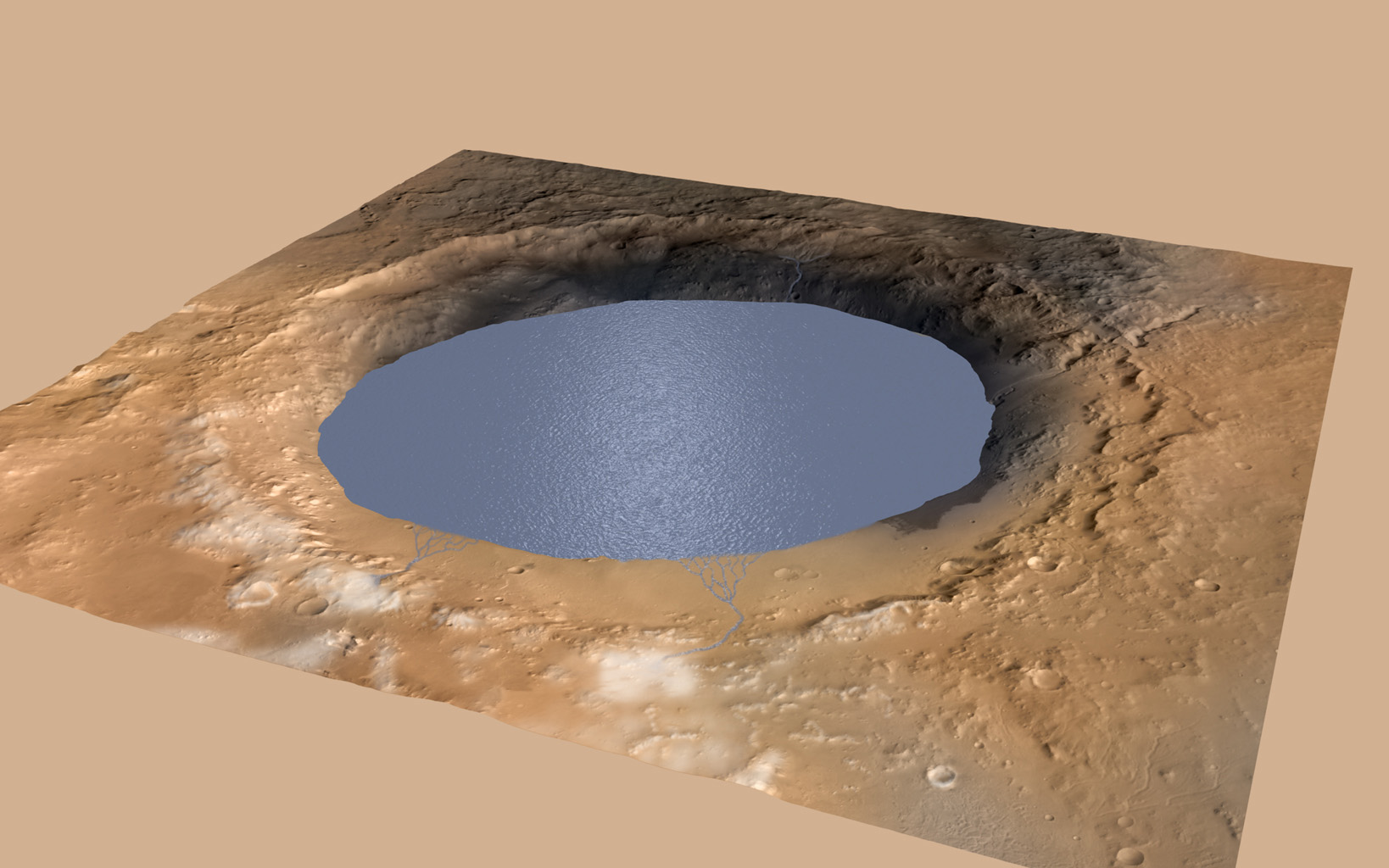
Not long ago, we were talking about water on mars! NASA’s Curiosity, a car sized robotic rover roaming around the red planet for the past two years has sent us some great information!

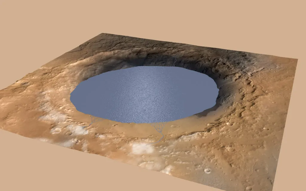
Curiosity in finding water on Mars

GaleCrater_Water

The data suggests that billions of years ago, a 96 mile crater might have been a lake once suitable for microbial life! Ever since the rover landed on Gale Crater (Aug 2012), wealth of information has been sent back to Earth. The key to the current information is Aeolis Mons (also called as Mount Sharp), a 5 kilometers tall mountain believed to be formed by rivers and lake sediments.

Curiosity Project Scientist John Grotzinger of the California Institute of Technology in Pasadena pointed out “Where there’s now a mountain, there may have once been a series of lakes.”

“We found sedimentary rocks suggestive of small, ancient deltas stacked on top of one another,” said Curiosity science team member Sanjeev Gupta of Imperial College in London. “Curiosity crossed a boundary from an environment dominated by rivers to an environment dominated by lakes.”

Interesting times in planet research! With every passing day and every new results, we are getting a step closer in answering the gazillion dollar question: “What happened to Mars?”

To read more, click here.


Did you like this post? Read more and subscribe to our monthly newsletter!

Read on
Search