Google uses satellite data to add wildfire location-tracking to Maps, Search
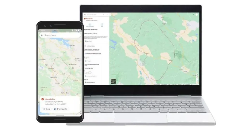
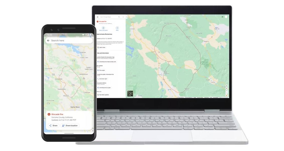
There are dozens of large wildfires burning across the United States right now – almost a third of them in California. As more than 45 million residents grapple with excessive heat warnings or fire weather advisories, Google has ramped up its efforts to provide deeper insights for areas impacted by ongoing wildfires. Now, when users will search for things like “wildfire in California” or a specific fire like “Kincade fire”, Google Maps and Search will show them a near real-time map of wildfire boundaries.

Using satellite data from the National Oceanic and Atmospheric Administration’s (NOAA) GOES constellation of satellites and leveraging Google Earth Engine’s data analysis capabilities, the search engine giant is keeping a watch on “hot spots” or large wildfires on the Earth’s surface. The data is being refreshed nearly every hour.

Image series showing smoke from the recent Apple Fire in California, captured by GOES-17 satellite
Once GOES’ infrared and optical sensors and Earth Engine identify an affected area, Google creates a digital polygon — the red boundary line you see on the map in Search and Google Maps — to highlight the wildfire impact zone. If multiple large fires are active in the same region, users may see several polygons in the same search result.
Yossi Matias, VP Engineering & Crisis Response Lead, Google, explains that this feature was first launched as a tool for first responders, emergency management personnel, and the community during the major California wildfires of 2019. “We collaborated with organizations, like the California Governor’s Office of Emergency Services and Boulder’s Office of Emergency Management, to gather expert recommendations on wildfire preparedness and response. Their feedback throughout our 2019 pilot helped identify what information is most useful during emergencies,” Yossi says.
Google has been bridging the information gap during crises since 2010 when the devastating Carmel Mountain fire started blazing outside its offices in Israel. Since then, the tech heavyweight has initiated Public and SOS alerts for hundreds of thousands of crises around the world – right from wildfire mapping and flood forecasting to earthquake detection and alerts.
Now read: How Google is using submarine cables as earthquake, tsunami warning systems
Did you like the article? Read more and subscribe to our monthly newsletter!


