Geoawesomeness has always been and is, all about sharing our passion and craziness for everything location. Be it Top 100 Geospatial Startups post or the posts about offbeat GeoGeeks, the main theme behind all of this is to evangelise Geo and the tech around it.
One of the biggest perks of blogging for Geoawesomeness has definitely been the awesome conversations we get to have with some really cool GeoGeeks from across the planet. Its inspiring in every sense of the word.
#GeoChat
#GeoChat is our attempt to broadcast our conversations with the coolest names in the geo-industry and get you, our readers involved in them. On Twitter!
#GeoChat is similar to your town hall Q&A session, except that it’s on Twitter. If you have a question for the guest/company simply tweet your question with #GeoChat during the chat. Here is the link to the past #GeoChat’s we have had with HERE and What3Words as an example.
Why Twitter?
Because its Twitter! So many of the Geoawesome companies we have interacted with, have always began with a tweet or a direct message on twitter. If you don’t have an account on Twitter and are wondering if you should try the platform – trust us, its worth those initial few hours that you will spend creating the account, following people (hopefully @geoawesomeness as well ;).
Join Us!
“Why should you participate on #GeoChat?” – Frankly, we don’t have a wolf of the wall street style response to sell our chat to you 😉 But we truly believe that it will be an interesting experience and would love to see your thoughts. After all, its all about the conversation so do join us on #GeoChat and lets spread the awesomeness of the geo world together on twitter! 🙂
The next #GeoChat
The next #GeoChat is on Thursday 1st December, 2016. Join us to chat with Jim Young from Esri as our guest to talk about Open Data and Esri’s efforts in that area (Related: Lets chat about Open Data with Esri on #GeoChat)

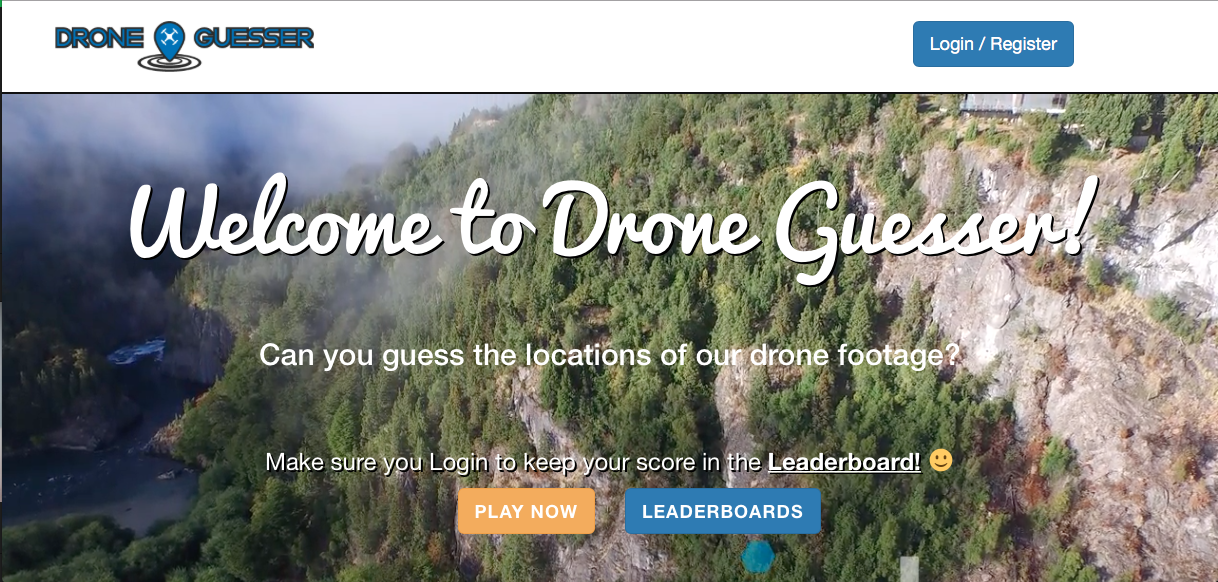
 Have fun with looking at drone footage! 🙂 #DroneGuesser

